3D Geodata Academy

Python

Aerial LiDAR Point Cloud Feature Extraction Tutorial

Point Cloud Feature Extraction: Complete Guide

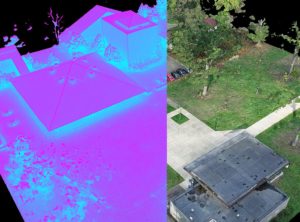
This tutorial targets 3D Point Cloud Feature Extraction for developing an interactive Python Segmentation App. The goal is to develop an end-to-end system that can abstract complex point clouds with pertinent features. These features are then used by a thresholding mechanism to extract parts of the 3D Point Cloud. Point Cloud Feature Extraction: Tutorial Brief

Point Cloud Feature Extraction: Complete Guide Read More »

3D Point Cloud visualisation

Visualise Massive point cloud in Python

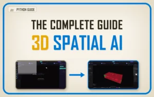
Visualise Massive point cloud in Python. Tutorial for advanced visualization and interaction with big point cloud data in Python. (Bonus) Learn how to create an interactive segmentation “software”. Data visualisation is a big enchilada 🌶️: by making a graphical representation of information using visual elements, we can best present and understand trends, outliers, and patterns

Visualise Massive point cloud in Python Read More »

Scroll to Top