3D Geodata Academy

Clustering

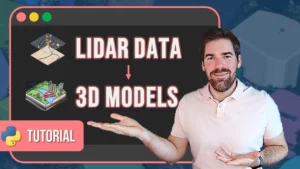
3D Point Cloud Vectorization

Vectorization of 3D Point Cloud for LiDAR City Models

By Dr. Florent Poux, PhD in 3D geospatial sciences | Author, 3D Data Science with Python (O’Reilly) | Published 18 January 2024 3D Point Cloud Vectorization for LiDAR City Models This hands-on approach is standalone and covers the process of LiDAR Vectorization. We then focus on City Model Automatic Generation (LoD 0) in 5 main […]

Vectorization of 3D Point Cloud for LiDAR City Models Read More »

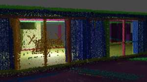
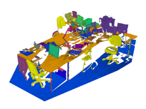
3D Shape Detection for Indoor Point Clouds

3D Shape Detection for Indoor Modelling

By Dr. Florent Poux, PhD in 3D geospatial sciences | Author, 3D Data Science with Python (O’Reilly) | Published 4 October 2023 A 10-step Python Guide to Automate 3D Shape Detection, Segmentation, Clustering, and Voxelization for Space Occupancy 3D Modeling of Indoor Point Cloud Datasets. If you have experience with point clouds or data analysis, […]

3D Shape Detection for Indoor Modelling Read More »

point cloud segmentation

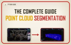
Learn 3D point cloud segmentation with Python

By Dr. Florent Poux, PhD in 3D geospatial sciences | Author, 3D Data Science with Python (O’Reilly) | Published 14 May 2021 Learn 3D point cloud segmentation with Python A complete python tutorial to automate point cloud segmentation and 3D shape detection using multi-order RANSAC and unsupervised clustering (DBSCAN). If you have worked with point […]

Learn 3D point cloud segmentation with Python Read More »

Scroll to Top