
O’Reilly · 2025 · 690 pages
3D Data Science with Python
Turn raw point clouds, meshes and images into 3D models, measurements and machine learning, in Python. Then keep going after the last page: every chapter comes with its own online companion of code, data and 3D previews.
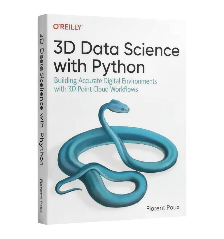
More than a book
One book. A living 3D workspace around it.
The print gives you the method. The companion gives you everything the method needs: the files, the fixes, the colour, and the guides the book points to.
From the author
The book, introduced by its author
A short introduction from Florent, one minute and forty-eight seconds.
Inside the book
From a raw scan to spatial AI, in five tracks
Each track builds on the one before. Every image below is a real dataset from that chapter, rendered for the companion.
Track 1
3D Supervisor
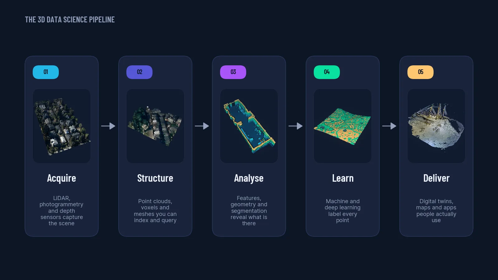
Introduction to 3D Data Science
You can explain what 3D data science and spatial AI are, place any 3D project on the modular workflow, and run your first NumPy transformation of a 3D shape.
Track 2
3D Engineer
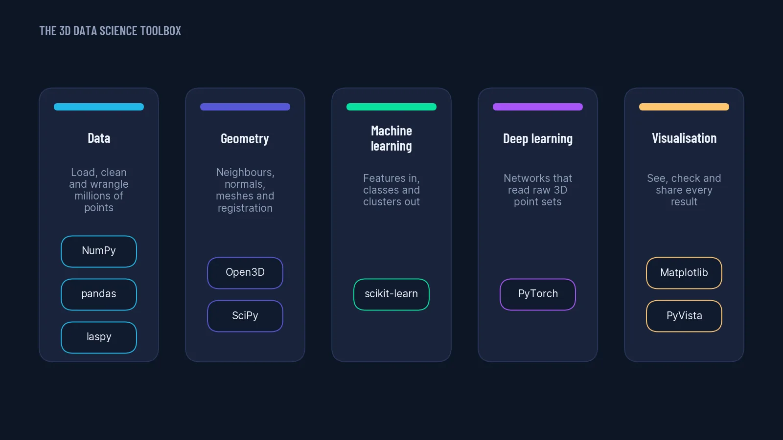
Resources and Software Essentials
You know which math, computing and AI foundations to refresh, what hardware to run 3D work on, and which free desktop tools cover reconstruction, processing and visualization.
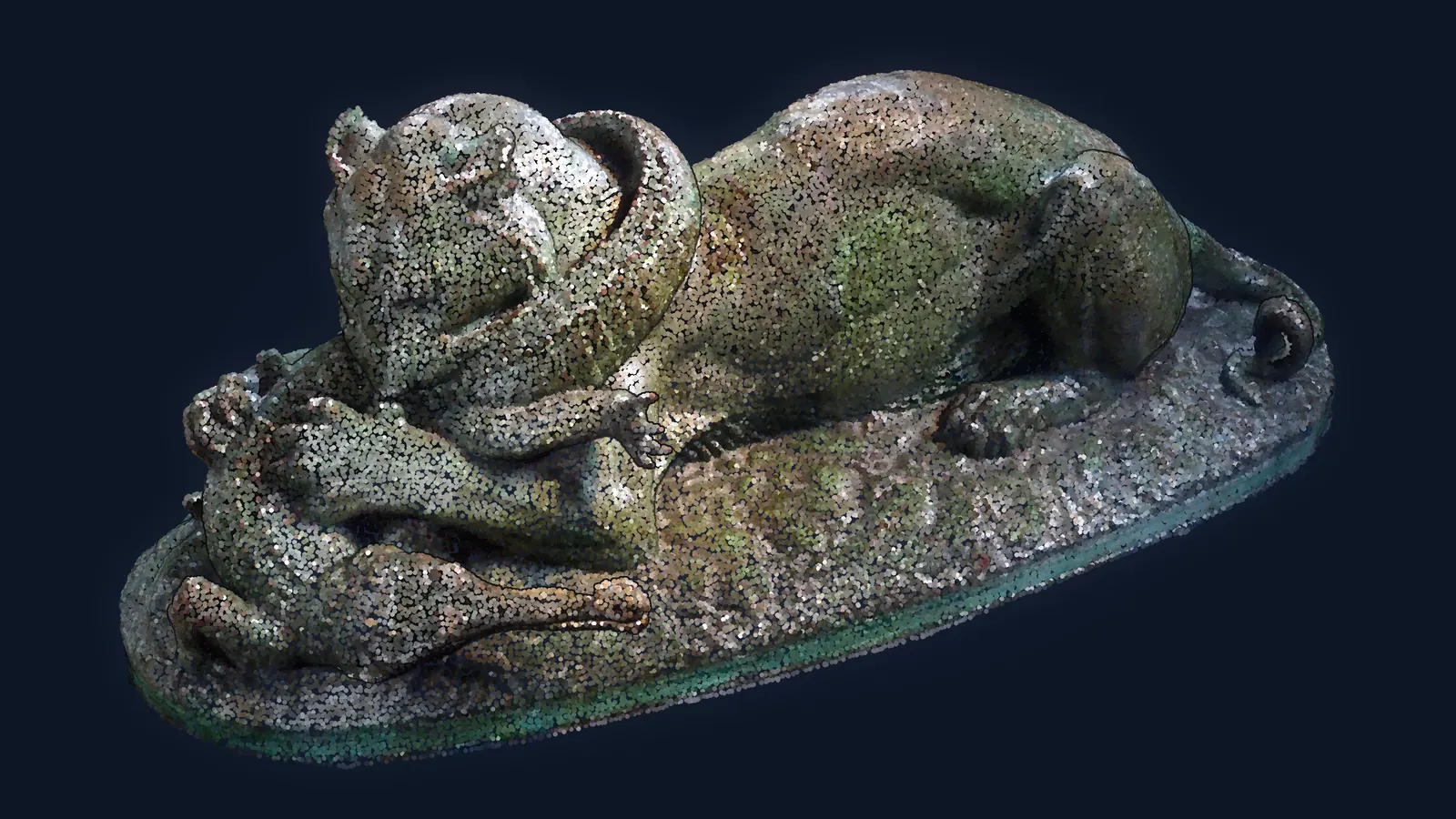
3D Python and 3D Data Setup
You can create an isolated conda environment, load an ASCII point cloud with NumPy, query it by attribute and visualize the result.
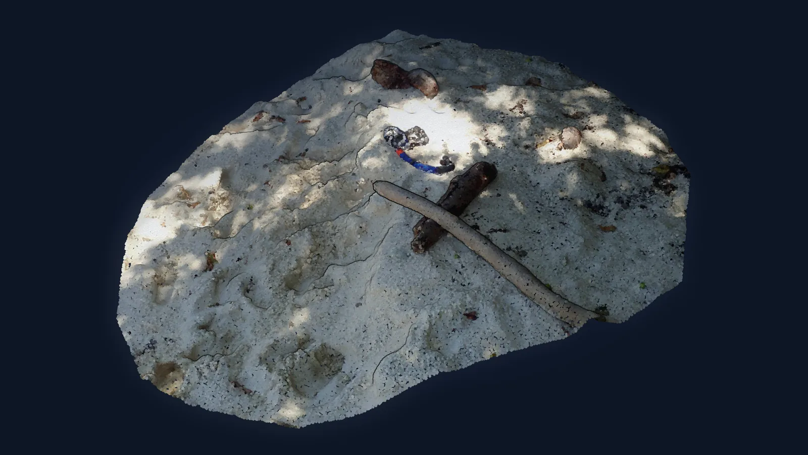
3D Data Representation and Structuration
You can load and convert point clouds, meshes, voxels, depth maps and projections, and pick the right spatial index (k-d tree, octree, BVH) for a given query.
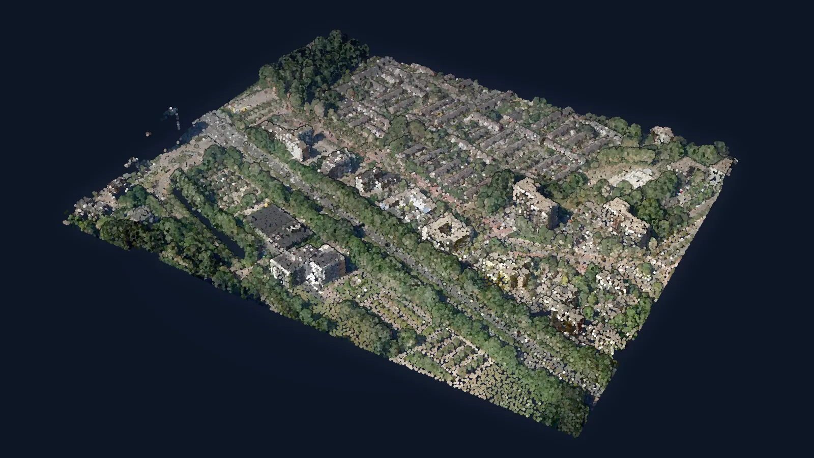
Developing a Multimodal 3D Viewer with Python
You can combine an aerial LiDAR point cloud and a 3D building mesh in one Open3D scene and extract flood-relevant measurements from it.
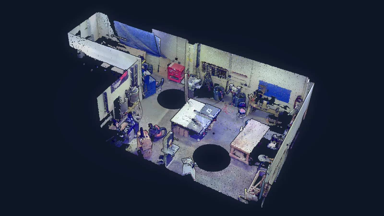
Point Cloud Data Engineering
You can pre-process a point cloud, derive PCA-based geometric descriptors, and register two scans with RANSAC on FPFH descriptors refined by ICP.
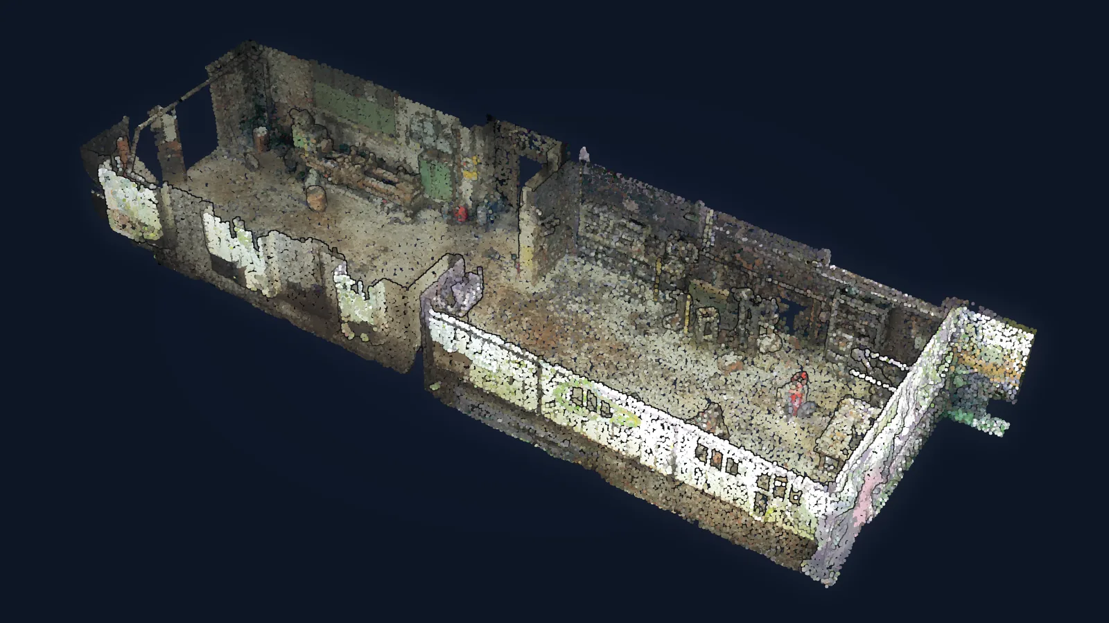
Building 3D Analytical Apps
You can compute per-point PCA descriptors (planarity, linearity, omnivariance, verticality, normals) on a real factory scan and segment it live with interactive thresholds in PyVista.
Track 3
3D Analyst
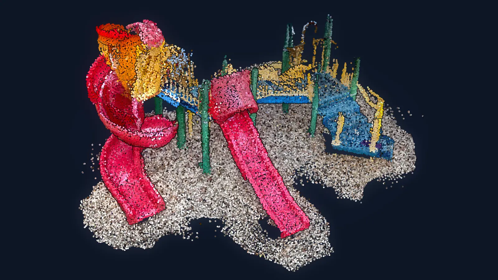
3D Data Analysis
You can profile a 3D dataset, describe its geometry and statistics, analyze color, normals and eigenvalues, and measure the deviation of a scan to a plane or a mesh.
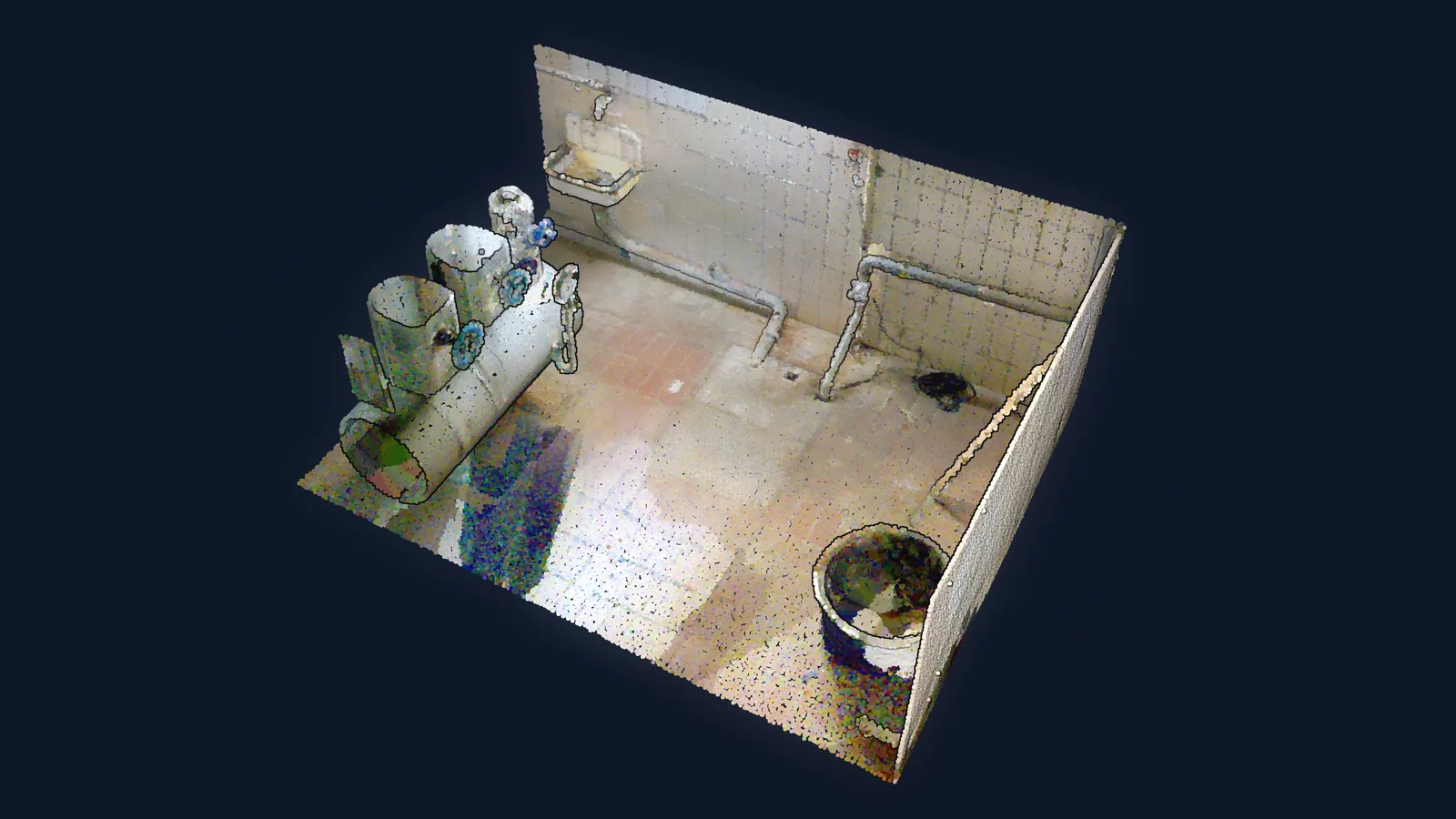
3D Shape Recognition
You can detect planes and spheres with a RANSAC you wrote yourself, segment surfaces with region growing, and combine both into oriented planar patches for scene modeling.
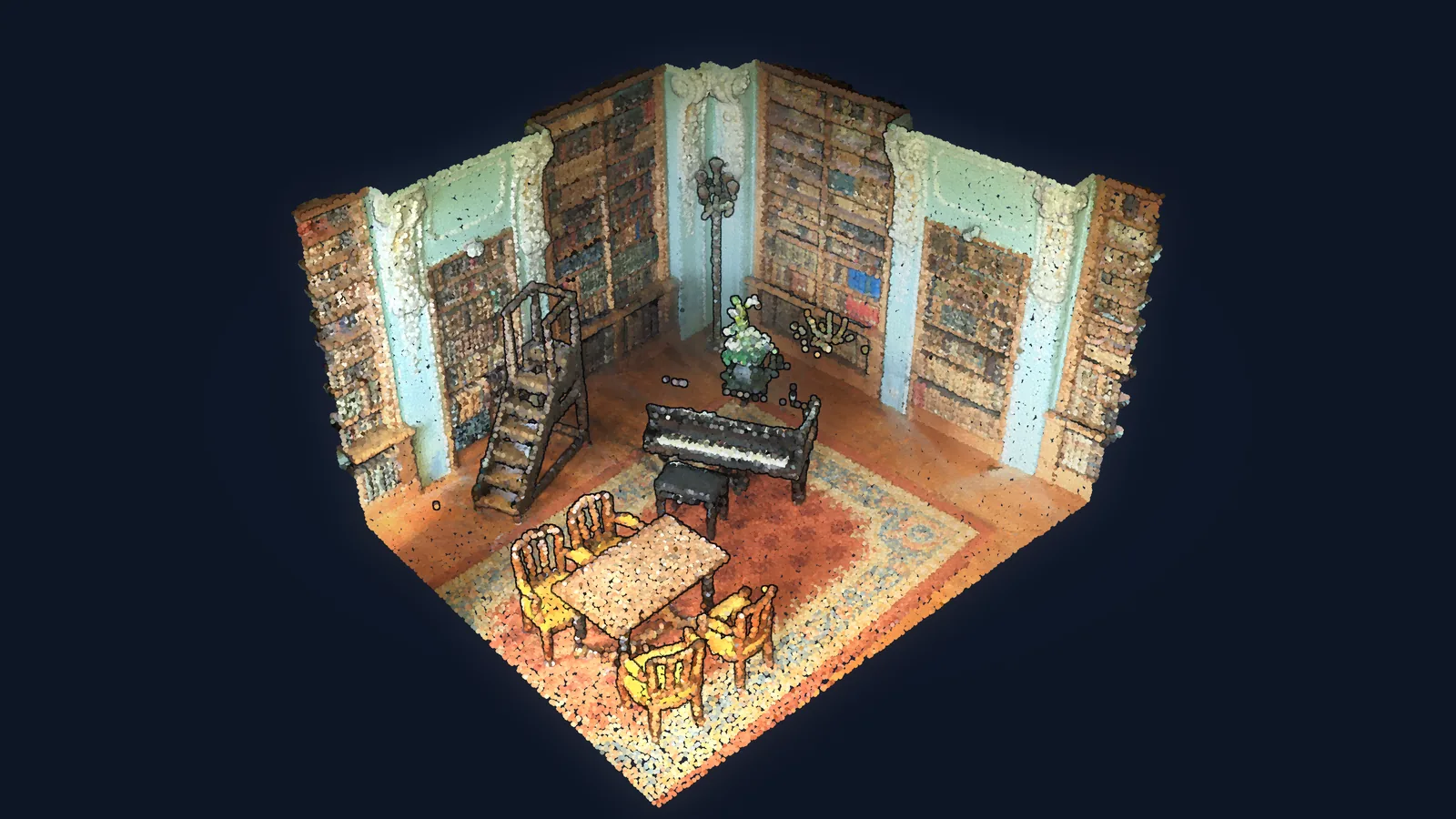
3D Modeling: Advanced Techniques
You can turn point clouds into meshes, voxel models and levels of detail, script parametric CAD parts, and reconstruct a mesh from a single image.
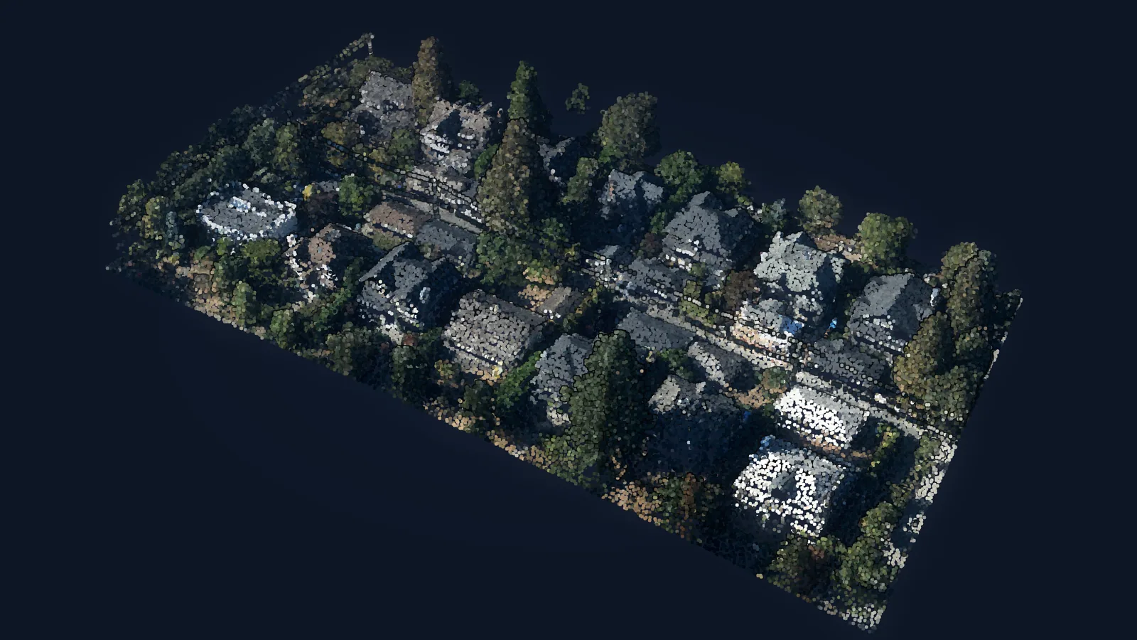
3D Building Reconstruction from LiDAR Data
You can turn an aerial LiDAR neighborhood into per-building footprints, heights, areas, perimeters and 3D meshes, exported as a shapefile.
Track 4
3D AI Specialist
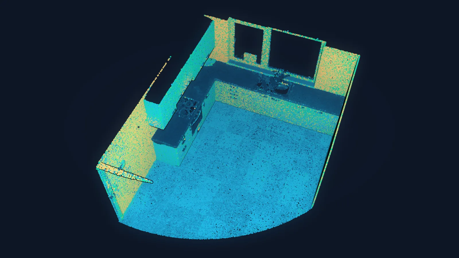
3D Machine Learning: Clustering
You can segment unlabeled point clouds with k-means and DBSCAN, justify their parameters, and chain RANSAC and DBSCAN to extract the structure of a kitchen scan.
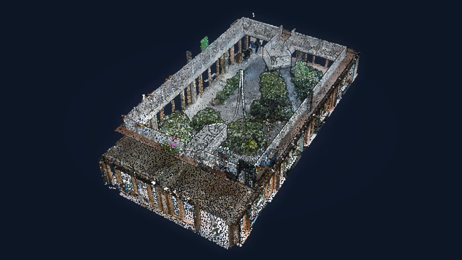
Graphs and Foundation Models for Unsupervised Segmentation
You can cluster a point cloud through graph connectivity, and segment a building scan without labels by running Segment Anything on spherical projections.
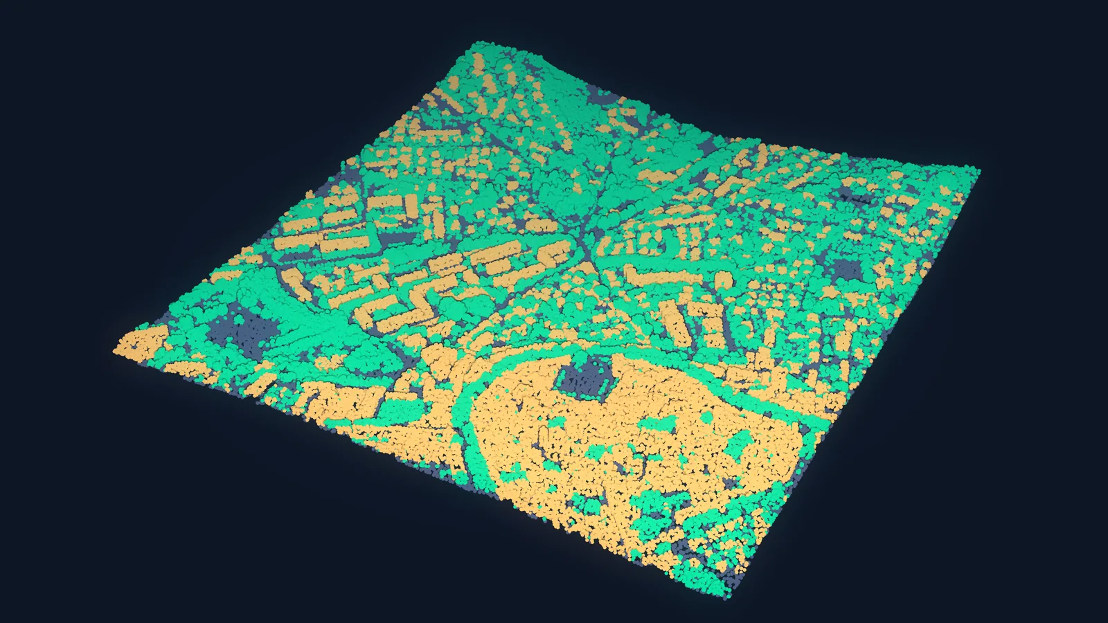
Supervised 3D Machine Learning Fundamentals
You can train and evaluate a supervised classifier that labels every point of an urban LiDAR scene, and diagnose why it fails on a new area.
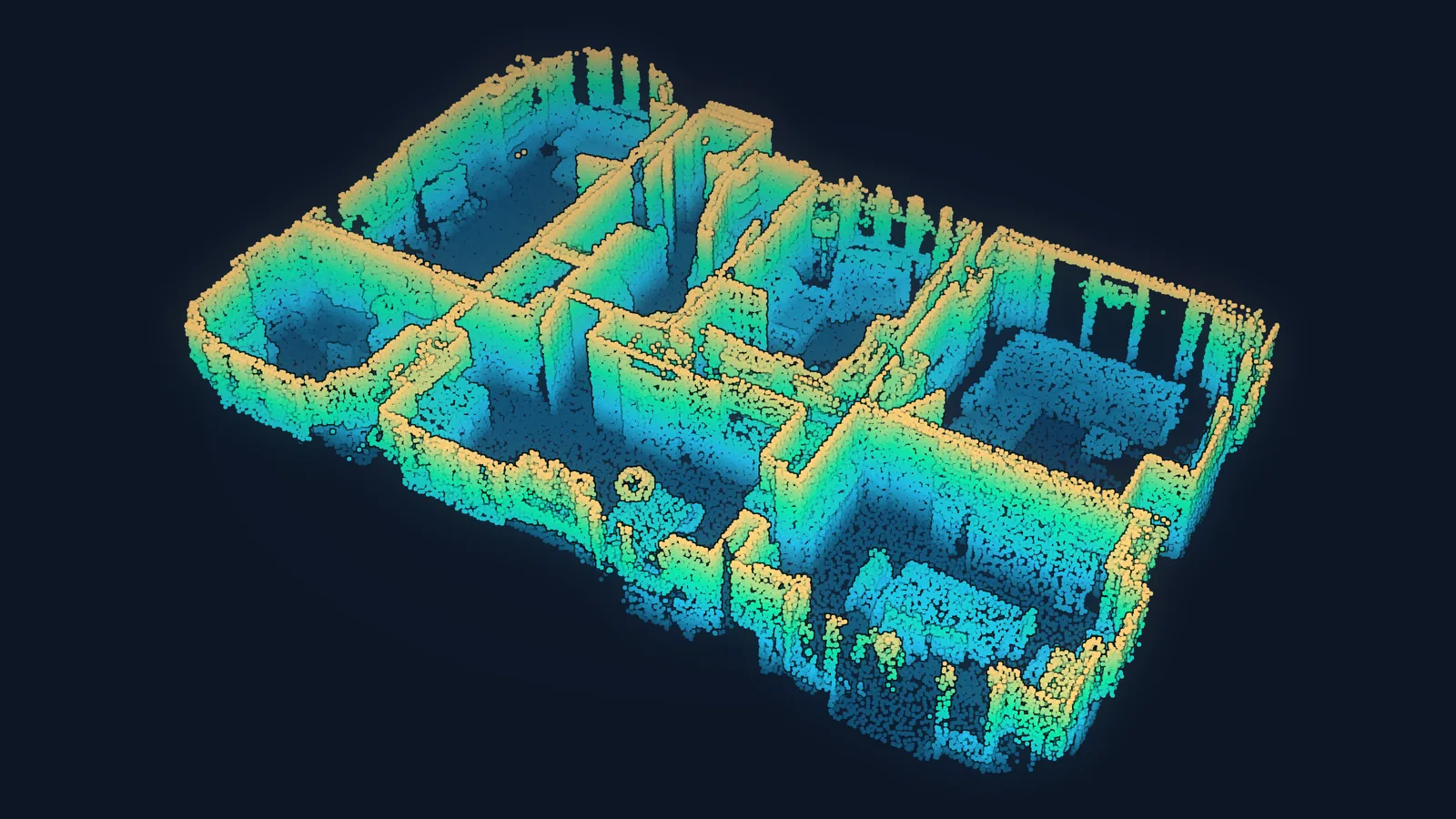
3D Deep Learning with PyTorch
You can build, train and serve a 3D deep learning model in PyTorch, and choose between 3D CNNs, graph networks, point-based networks and multiview CNNs for your data.
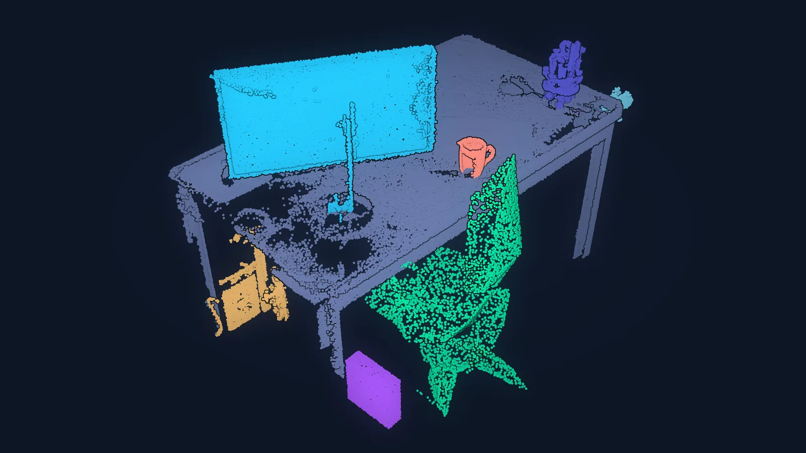
PointNet for 3D Object Classification
You can prepare real LiDAR data for PointNet, implement the architecture with its T-Nets and regularized loss, train it on ModelNet10 and classify a real scanned object.
Track 5
3D Visionary
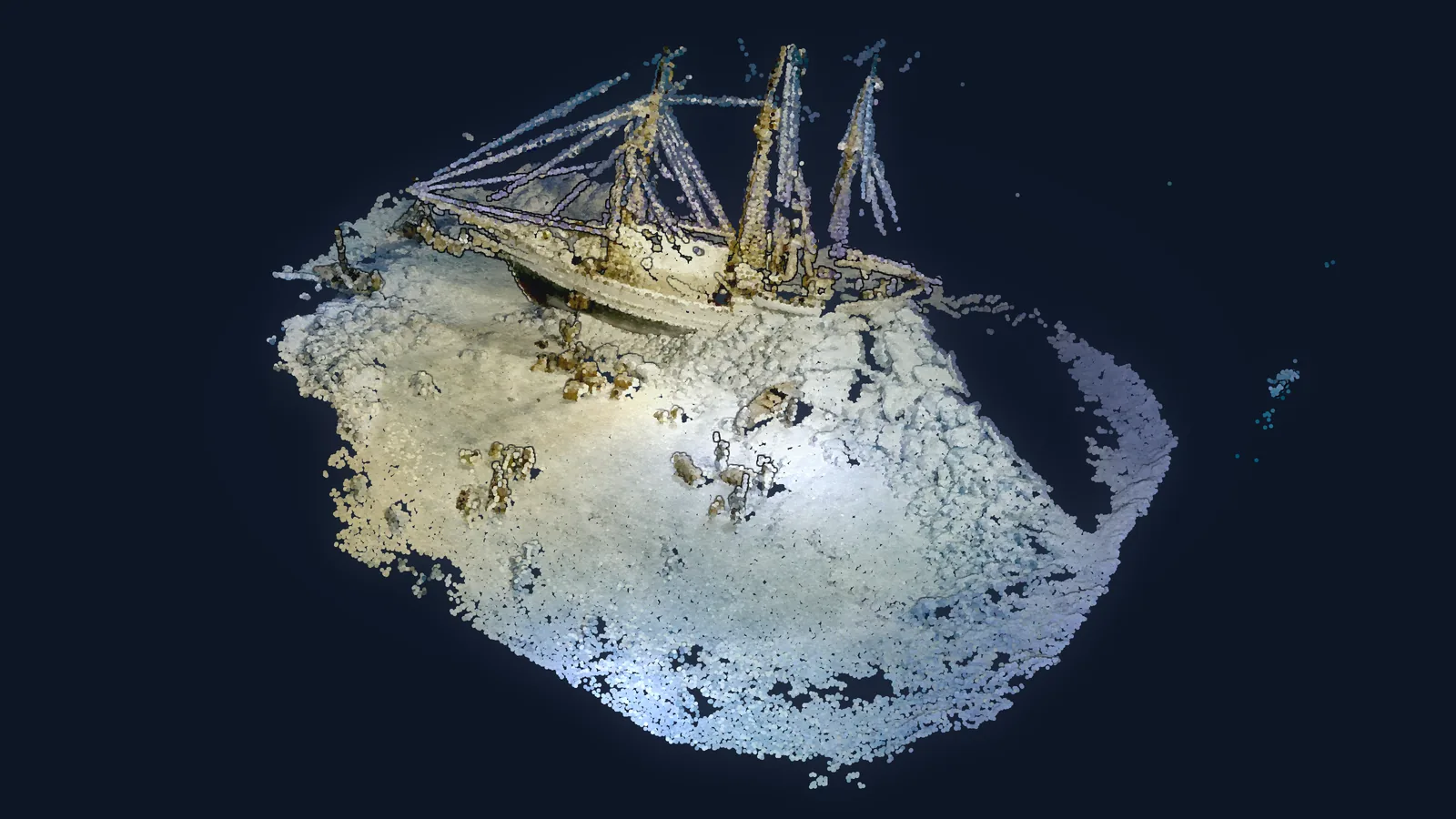
The 3D Data Science Workflow
You can assemble the book's modules into one pipeline, from photos to a dense point cloud that you clean, model, segment and analyze, and adapt it to a new project.
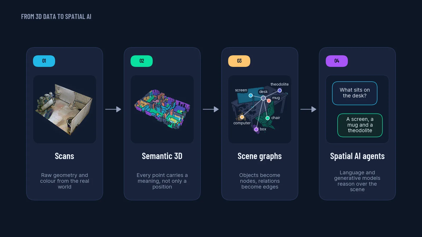
From 3D Generative AI to Spatial AI
You can prototype five research-grade extensions of the book's workflow (image and text to 3D, deep registration, semantic modeling, Point Transformer segmentation, Gaussian splatting) and sketch a spatial AI reasoning stack.
Every chapter comes with its own online page: the code, the data and a 3D preview of the dataset you are about to work with.
Why readers love the companion
The four things a printed page cannot do
Colour and 3D
The print is in black and white. Online, every dataset is rendered in colour, and you can orbit it before you download a single gigabyte.
Code that runs today
Every chapter was re-run on current library versions. One environment file installs it all, and a changelog lists each fix.
Every promise kept
Where the book says “see the Resource Hub”, a written guide is waiting: sensors, meshing, metrics, CUDA setup and more.
Found in one click
One page per chapter, with the files, the exact run command and the notes wherever the folder differs from the print.
Readers and the author
Written by a practitioner, read by thousands
“The chapter-specific example codes and data are wonderfully hands-on.”
Solomon Embafrash, verified review on Amazon.com
“I think I’ve read enough to say definitively that it is excellent.”
Trev, verified review on Amazon.co.uk
After the book
Where the book leads next
Keep going at your own pace, with a tool, a course, or the full guided path.
Free software
Neurones 3D Engine
The 3D software Florent builds. Open and explore your own point clouds and splats, free for Windows.
Download freeSelf-paced
The course Library
Focused micro-courses, blueprints and complete operating systems for 3D AI. One subscription, or one course at a time.
Browse the LibraryFlagship program
The 3D AI Architect Program
The guided path from book reader to 3D AI architect who designs and ships production systems.
Explore the programQuestions readers ask
Before you buy
Who is this book for?
Python users who work with 3D data, or want to: GIS and survey professionals, engineers, researchers and students. The first chapters cover the foundations (3D data, Python setup, representations); later tracks go into 3D machine learning, deep learning and generative AI.
Do I need a GPU?
No. The large majority of chapters run on any recent laptop. Segment Anything (chapter 13), graph deep learning (chapter 15) and 3D generative AI (chapter 18) are faster with a CUDA GPU and are optional.
Where are the code and the datasets?
Every chapter has its own folder with the code and the data side by side, and its own online page. The book's preface tells readers where to find them.
Does the code still run on current libraries?
Yes. Every chapter was re-run in September 2026 on current library versions; one environment file installs everything and a changelog in the folder lists each fix. Where the shipped files differ from the print, the companion page of that chapter says so.
Is there a way to go further than the book?
Yes. The course Library covers single topics in depth, and the 3D AI Architect Program is the guided path from the book to production 3D AI systems.
Start with chapter 1
Get the book, then build with it
690 pages of method, plus a companion that keeps the code, the data and the guides one click away.
