
3D Geodata Academy

Visualization

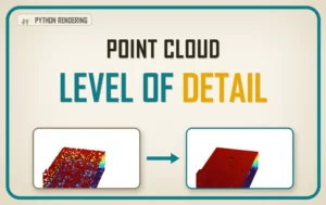
Point cloud level of detail: octree render, coarse to fine

Point Cloud Level of Detail in Python: Octrees, Frustum Culling, and Out-of-Core Rendering

A cloud bigger than your memory still spins at sixty frames a second. The trick is the one your maps app already plays on you: a pyramid of pre-cut tiles, called an octree, that loads detail only where you are looking. Here is the full machinery, with a runnable Python demo.
Point Cloud Level of Detail in Python: Octrees, Frustum Culling, and Out-of-Core Rendering Read More »

3D Point Cloud visualisation

Visualise Massive point cloud in Python

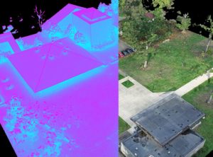
Visualise Massive point cloud in Python. Tutorial for advanced visualization and interaction with big point cloud data in Python. (Bonus) Learn how to create an interactive segmentation “software”. Data visualisation is a big enchilada 🌶️: by making a graphical representation of information using visual elements, we can best present and understand trends, outliers, and patterns

Visualise Massive point cloud in Python Read More »

Scroll to Top