
The code and data behind every article
Every tutorial I publish ships with a script that runs and the scene it was written against. The code is public on GitHub. The datasets are one email away, because they are too big to paste out of an article.
The kits
6 kits, newest first. Each one reproduces every number in its article.
 2026-10-05
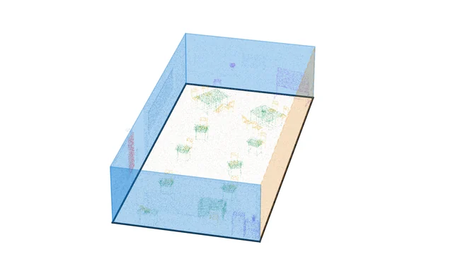
Scan to floor plan, from wall pixels to a DXF
Turn the wall points of a classified room scan into clean vector walls and a layered DXF any CAD tool opens. CPU only.
 2026-09-22
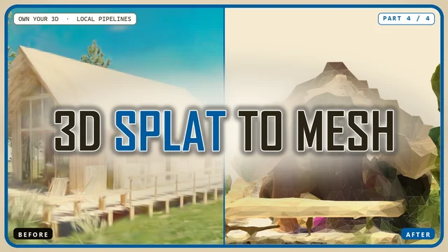
Gaussian splat to textured mesh
Filter, densify and Poisson-mesh a trained 3D Gaussian splat, then bake a real texture. CPU only.
 2026-07-14
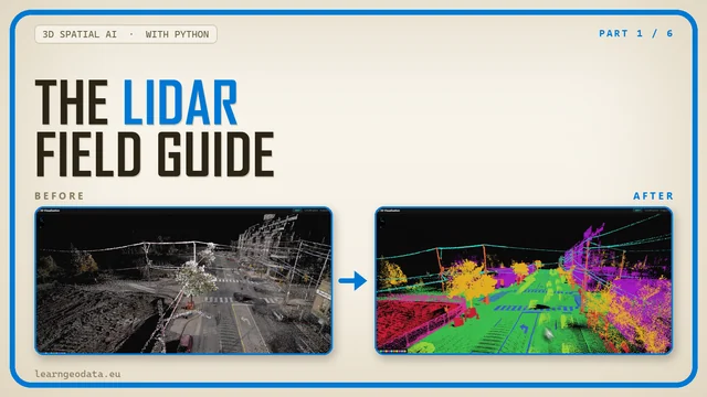
LiDAR ground filtering to a terrain model
Read, thin and index a real LiDAR tile, filter the ground, grade it against the survey, write a DTM. CPU only.
 2026-06-22
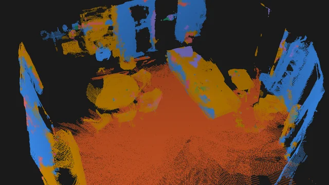
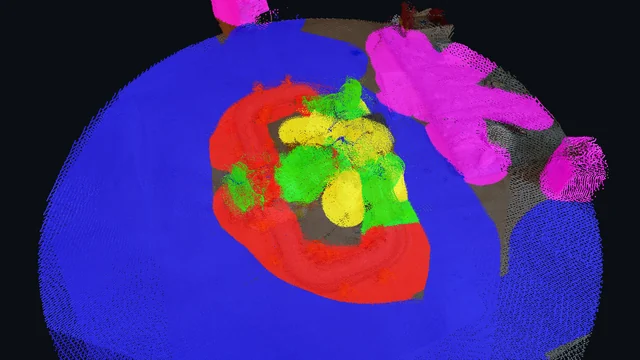
Open-vocabulary 3D semantics on a real room scan
Lift 2D labels onto a real room scan, fuse them across cameras, vote out the flicker, slice a plan. CPU only; model outputs simulated.
 2026-03-23
Label a 3D scene by painting on photos
Paint labels on photos with an OpenCV brush, project them to 3D through the cameras, spread them with a KD-tree, export PLY and GLB. CPU only.
 2026-02-11
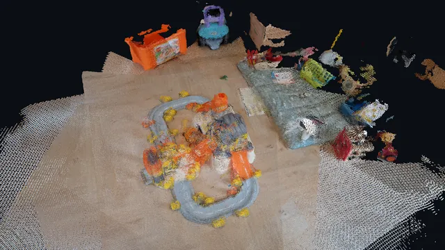
3D models from photos with Depth-Anything-3
Depth, camera poses, a registered point cloud, ground and object segmentation, a voxel mesh and a GLB, from nine phone photos.
All of it in one place: github.com/florentPoux/3d-data-materials
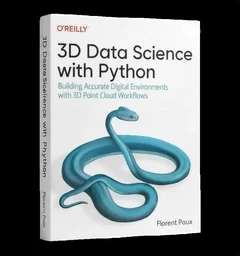
3D Data Science with Python
Building Accurate Digital Environments with 3D Point Cloud Workflows
Every kit here is one pipeline. The book is the discipline underneath them: 690 pages from the Python foundations through point cloud processing, meshing and the engineering that keeps a 3D workflow standing up in production. If these pipelines make sense and you want the structure they came from, that is where it lives.
See the book or buy it on O’ReillyWhere the articles live
The kits are the endings. These are the articles they end.
Tutorials on learngeodata.eu
Long-form walkthroughs on point clouds, LiDAR, reconstruction and spatial AI, with the diagrams and the numbers.
MediumI write there too
The same tutorials for the Medium audience, often with the discussion in the responses underneath.
YouTubeWatch it run
Short-form and long-form video when a pipeline is easier to understand moving than still.
If you want the path, not the pieces
A kit teaches one pipeline. These teach the discipline.
The free 3D mission
Real point clouds, real Python, and the foundations every kit here leans on. No cost, and where many readers start.
CoursesThe 3D Geodata Academy
Self-paced courses for the parts you want to go deep on, from reality capture through 3D deep learning.
Dr. Florent Poux
Founder and Lead Instructor at the 3D Geodata Academy. 15+ years on the automation of reality capture, from point clouds and photogrammetry to spatial AI, and 1,700+ citations across 60+ peer-reviewed publications.
I write on Medium · LinkedIn · YouTube · About · ORCID
Each kit page hands you the code, the scene and the finished output. The code is public on GitHub under the MIT license.
