
Engineer Neural Networks for Geospatial Data
From the inside of an ANN to production CNNs on real imagery. 17 lessons. Python code you write from scratch. The theory you actually need, nothing you don’t.
See the engineering mindset in action
How a geospatial analyst actually builds, trains, and deploys a neural network on real data.
Core architectures you’ll ship: ANN, CNN, ResNet, and EfficientNet.
Students trained worldwide across 80 countries.
R&D experience distilled into code-first workflows.
You’ve read the papers. You still can’t ship a model.
You’ve watched the ANN explainers. You’ve fine-tuned a ResNet from a Kaggle notebook. Maybe you’ve even trained a classifier on MNIST. But when your manager hands you aerial imagery and asks for a custom classifier, you don’t know where to put your hands. The abstractions you learned hide the very parts you now need to touch.
That’s the engineering gap. Not math. Not Python syntax. It’s the willingness to open the framework and understand what each line does, so you can adapt it. Most geospatial analysts stay stuck on top of libraries they don’t trust. This course gets you under the hood.
Copy-pasting Keras code works until it doesn’t. The moment your dataset is weird, your input has a funky resolution, or your loss function needs a custom term, you’re stuck. In this course, I rebuild an ANN in plain NumPy first, then a CNN, then a full image classifier with PyTorch. By the end, you can read any paper, spot the critical ingredient, and reimplement it. Engineering, not incantation.
What you’ll build
Working neural networks, coded line by line, tested on real geospatial inputs.
An ANN from scratch
Build a full ANN in NumPy. Forward pass, backpropagation, loss, optimization. You code every line. You understand every symbol.
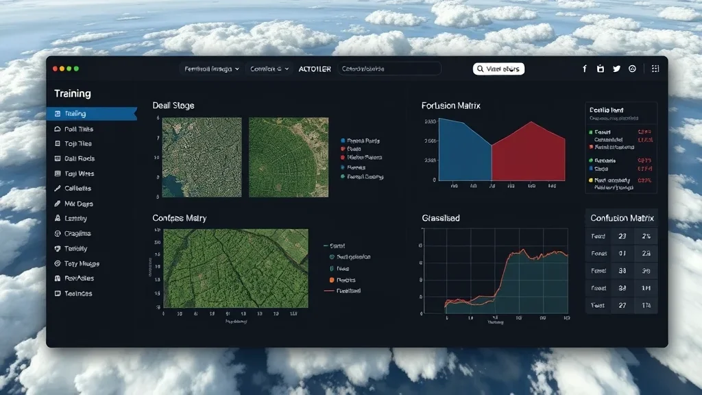
CNN image classifier
A working CNN for image classification on real data. PyTorch training loop, evaluation, and inference.
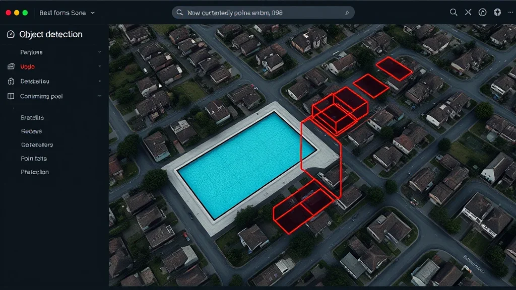
ResNet recognition app
Deploy a ResNet with transfer learning. A real image recognition app you can demo. Production-ready inference code included.
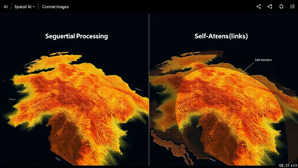
Transformers and RNNs
What RNNs and Transformers actually do, when they beat CNNs, and why attention matters for 3D.
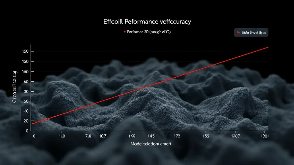
EfficientNet done right
Understand EfficientNet scaling laws. Pick the variant that fits your GPU and your accuracy target, without guesswork.
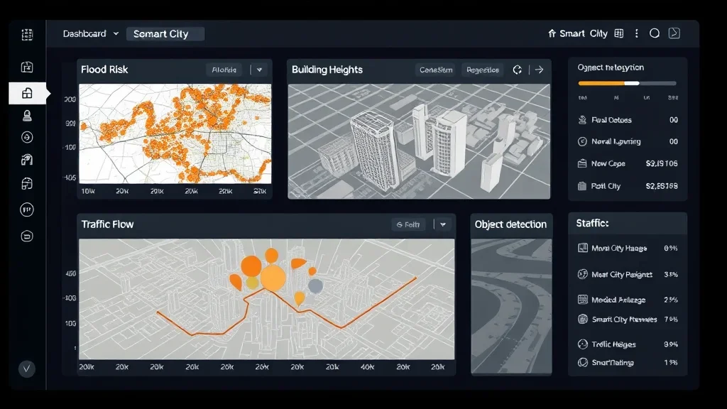
Geospatial applications
Every architecture gets a geospatial angle: aerial imagery, satellite tiles, semantic maps. You connect the theory to your daily work.
I wrote this course after coaching too many geospatial analysts who knew GIS, knew Python, knew statistics, but hit a wall when it came to neural networks. The wall isn’t the math. It’s the missing step-by-step engineering progression. This course is that progression.
How this course works
Engineering-first. Built for working geospatial professionals.
100% asynchronous
Access everything 24/7 on the LMS. Self-paced. No live attendance.
Code-along structure
Every lesson ships with runnable Python. Clone the repo, follow along, modify freely.
Real imagery
Aerial photos, satellite tiles, and classification benchmarks. Not toy MNIST digits.
Theory on demand
Math is introduced when you need it and explained in plain language. No filler derivations.
Lifetime access
One payment, permanent access. Every update included.
Upgrade path
This course is the on-ramp to 3D Deep Learning OS. Your payment applies as credit if you upgrade.
You’re a geospatial analyst, GIS engineer, remote sensing researcher, or a Python developer who wants to understand neural networks at the engineering level. Not at the handwave level. If you can write a for loop and read a NumPy array, you’re ready for lesson one.
The Curriculum
5 modules. From first principles to deployed models.
Prerequisites
This course is designed for analysts and developers who want to move from using networks to engineering them.
- Python (mid-level): comfortable with functions, classes, file I/O, and NumPy
- Basic math: linear algebra at the vector and matrix level, a feel for derivatives. I explain the rest as we go
- Hardware: 16 GB RAM. A CUDA GPU helps but is not required
- Software: Python, PyTorch, NumPy, Matplotlib. All free and open source
No prior neural network experience required. I build the intuition from the ground up.
A structured orientation to deep learning in the geospatial context. Point clouds, images, voxels, and how each data type feeds a different network family.
Get your Python environment ready. Install PyTorch, Matplotlib, and the supporting libraries. Verify GPU access. Download the starter project and run your first training script.
Understand an ANN at the weight level. Forward pass, loss, backpropagation, optimization. You code a full ANN in NumPy, then again in PyTorch for comparison.
The workhorse of computer vision. Convolution, pooling, activations, and the full training loop. Apply it to an image classification task on real imagery.
Scale up. Skip connections in ResNet, compound scaling in EfficientNet, and the intuition behind RNNs and Transformers. Deploy a ResNet-based app you can show.

Your instructor
Dr. Florent Poux
I’ve spent 12+ years in 3D geospatial: from field surveys with total stations to building AI systems for Fortune 500 companies. I published the O’Reilly book on 3D Data Science with Python. I’ve advised startups valued at over 15M EUR. I’ve held a professorship, taught at university, and led R&D for some of the largest organizations in the space.
I don’t teach syntax. I teach judgment. Every module is built around real decisions I’ve faced in production. Which neural renderer fits an industrial inspection job. How to architect a semantic pipeline that doesn’t choke on 500M points. When to use algorithmic methods and when to switch to deep learning.
What students say
Geospatial analysts, GIS engineers, and ML practitioners from 80 countries.
“I came in fluent in Python but lost on 3D. After Module 2 I was reading PointNet++ papers like a normal human. The intuition Florent builds is the missing link.”

“We replaced a brittle classical pipeline with a sparse-conv network thanks to this course. Production accuracy jumped from 78 to 94 percent on the same data.”
“The training loop debugging chapter was worth the price by itself. I now know why my models stop learning instead of guessing at hyperparameters.”
“I was trained as a remote sensing engineer with zero ML background. This course turned that around. I now own the deep learning pipeline at our firm.”
“The geospatial framing is what made the difference. Every example uses real satellite, drone, or LiDAR data, not toy datasets I cannot relate to.”
Get lifetime access
One payment. Every lesson, every code file, every update.
Engineering Neural Networks for Geospatial Analysts
Complete neural network curriculum + source code + lifetime updates
- 17 engineered lessons (14+ hours)i
- Complete Python source code
- ANN, CNN, ResNet, EfficientNet
- Real-imagery training datasets
- Lifetime access + all future updatesi
- 90-day results guaranteei
Zero-risk guarantee: If you don’t see real results within 90 days, I’ll refund you in full. No questions.
The complete ecosystem
3D AI Architect Program
The complete spatial AI curriculum, delivered in 3 tiers. Pick the depth that matches where you are — Foundations to get moving, Professional for the full OS stack, Ultimate for live access and priority support.
- 3D AI Acceleratori: 17 episodes in 6 acts
- 3D Course Libraryi: every standalone course I publish
- All 4 OS courses (Professional & Ultimate tiers)
- Neurones 3D software access
- Monthly drop-in sessions with Dr. Poux (Ultimate)
- Spatial AI job and market intel
- Priority support + services access (Ultimate)
- 300+ hours of content
What you’re getting access to
Everything I’ve built over 12+ years, from land surveying in the field to advising 15M EUR startups, compressed into one curriculum you can start today. Delivered by the first QUALIOPI-certified 3D geospatial academy.
Every pipeline was battle-tested on Fortune 500 projects processing billions of points. You’re getting the real playbook, not theory.
Methods validated by peer-reviewed publications, the ISPRS scientific community, and 1,500+ academic citations. Not guesswork.
Built by someone who surveyed in the field, defended a PhD, advised funded startups, and shipped products to Fortune 500 clients.
I share more free content than most people put behind a paywall. That’s intentional. I want you to know exactly what you’re getting before you invest. This course is the concentrated, structured version of everything I know. No fluff. No filler. Just the production path.
Find the right path for you
From single courses to the complete ecosystem.
| Feature | Standalone Course | Engineering Neural Networks for Geospatial Analysts | Course Library | 3D AI Architecti | Enterprise |
|---|---|---|---|---|---|
| Courses included | 1 topic | 5 modules | Full catalogi | 3 OS courses + Library (tiered) | Custom |
| Hours of content | 2-8h | 14+ hours | 150+ hours | 300+ hours (tiered) | Custom |
| Production source code | ✓ | ✓ | ✓ | ✓ | ✓ |
| Lifetime access | ✓ | ✓ | – | ✓ | ✓ |
| 3D AI Accelerator Tracki | – | – | – | ✓ | ✓ |
| Neurones 3D softwarei | – | – | – | ✓ | ✓ |
| Spatial AI job & market inteli | – | – | – | ✓ | ✓ |
| Monthly drop-in sessionsi | – | – | – | ✓ | ✓ |
| Priority support + services accessi | – | – | – | ✓ tiered | ✓ |
| Custom onboardingi | – | – | – | – | ✓ |
| Team licensing | – | – | – | – | ✓ |
| Price | €97 – €497 | €397 | €297 / 3 months | Starts at €1,999 | On request |
Straight answers
Do I need prior neural network experience?
No. I build the intuition from the ground up. You need Python and basic math. The rest I explain as we go.
Is this a 3D deep learning course?
Not directly. This is the engineering foundation you need before 3D deep learning makes sense. Once you’ve engineered an ANN, a CNN, and a ResNet from scratch, 3D networks like PointNet become readable. If you want to go straight to 3D, look at 3D Deep Learning Foundations.
What hardware do I need?
A modern laptop with 16 GB RAM is enough for most lessons. A CUDA GPU helps for the CNN and ResNet modules. Free Google Colab GPUs also work if you don’t have one locally.
How long do I have access?
Lifetime. One payment, permanent access. Every future update included.
What’s the refund policy?
90 days. Build a model, run it on real data. If you don’t see results, email me for a full refund.
How is this different from a generic deep learning MOOC?
Generic MOOCs teach neural networks in the abstract or through image datasets disconnected from your job. This course is engineered for geospatial analysts. Every example connects to the kind of data you actually touch: imagery, tiles, remote sensing outputs.
Can I upgrade to 3D Deep Learning later?
Yes. If you upgrade to 3D Deep Learning Foundations or the 3D Deep Learning OS, your purchase applies as credit. Contact me at howto@learngeodata.eu.
Do I get the code?
You get the full repository. Every script, every notebook, every training configuration. Clone it, fork it, use it on your own data.
Not sure if this course fits?
If you have specific questions about how the curriculum applies to your role, your team’s needs, or your technical background, I’m happy to help you figure it out before you commit.
Book a 15-min call