I started on archaeology digs, measuring walls with tape and cameras. Twenty years later I’m shipping spatial AI systems for R&D teams in Europe and the US. I’ve walked every step in between, and that’s what I teach.
I’ve raised millions for startups. I’ve published with O’Reilly. I’ve taught at university and led R&D for major companies.
I don’t teach syntax. I teach judgment. Every track is built around real decisions. Which neural renderer fits an industrial inspection job. How to architect a semantic pipeline that scales past the demo. How to ship AI workflows, not just prototype them.
You walk away with tools that keep paying off. Not a certificate on a shelf.
Understanding the complete 3D geodata pipeline from hands-on field work to breakthrough research
Field Pioneer
Started with archaeological excavations, learning 3D documentation from the ground up
Academic Excellence
PhD in 3D data processing, published researcher with 50+ peer-reviewed papers
Industry Leader
Consulted for major companies, bridging the gap between research and application
Successful Founder
Built successful companies and trained thousands of professionals worldwide
The Vision
Six years ago I watched a senior engineer, brilliant with code, freeze in front of executives. The question was simple. “Should we use this tech, or that one?”
The Academy exists to build technical leaders who design systems instead of following tutorials. People who can walk into a room full of conflicting data, tight budgets and unclear tech, and still make the call.
Because in the AI era, everyone can run the tools. The edge belongs to those who know which one to pick, and why.
Tools change every year. The pipeline doesn’t. I teach the full chain, from capture to deployed insight, the way I wish someone had taught me. That’s how you stop being dependent on whatever vendor is hot this quarter.
— Dr. Florent Poux
Founder, 3D Geodata Academy
Practical First
Every concept lands in a real project. No isolated theory.
Community Driven
You learn faster with peers who are one step ahead of you, and one step behind.
Continuously Updated
When the field moves, the material moves with it. I add new methods as they land.
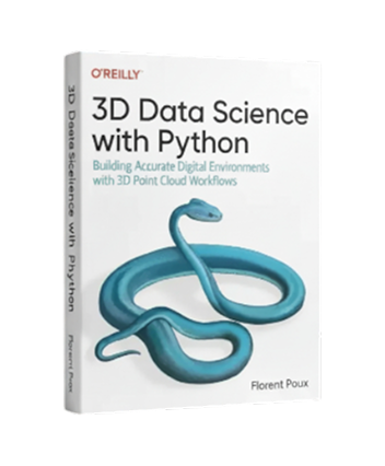
O'Reilly Published
Master 3D Data Science with Python
Transform raw 3D point clouds into intelligent spatial systems. From foundational concepts to production-ready AI models, this comprehensive guide takes you on a journey through the complete 3D data science ecosystem—proven methods used by industry leaders at Netflix, Meta, and Airbus.
Here is a collection of authentic perspectives from clients and collaborators who share their experiences working with me.
Working with him was seamless from start to finish. He quickly understood our needs and delivered thoughtful, effective solutions that elevated the entire project
Elena Petrov
Photogrammetry Specialist
•
Microsoft
“From confusion to confidence in 3D reconstruction. The Guild community is incredibly supportive.”
Marcus Rodriguez
Spatial AI Lead
•
Intel
Let’s Connect
Send us your questions and ideas and we will define the best path forward