
Five free missions on LiDAR point clouds, Python and 3D AI
The Architect's Path is the free opening act of the 3D AI Accelerator. Five videos, 44 minutes in total, each one with a kit you download: the guides, the code pack, and the Neurones 3D software. You answer three questions first, so the plan you print at the end is built around the work you actually want to do.
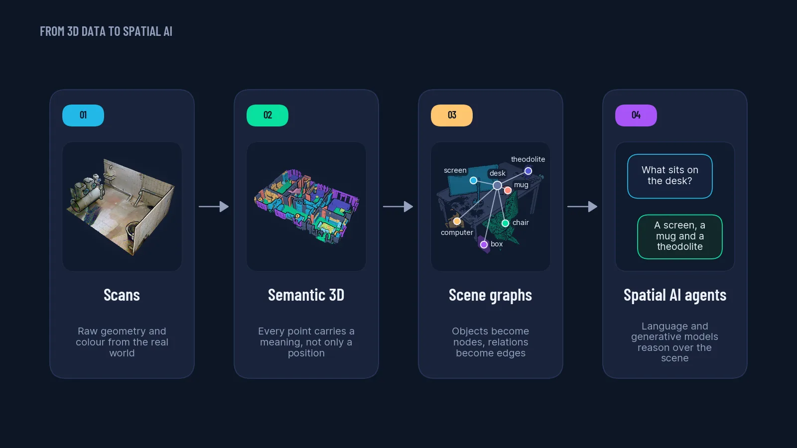
Methods used by teams at AirbusMetaCNRSBMW
The five missions, in the order you watch them
Every mission is one video, one kit you download, and one exercise you do on the page itself. You finish a mission to open the next one, and your rank changes at each step.
-
 Rank earned: Cadet · 9 min
Welcome to the Architect Program
The six act spine of the whole program, and the six things a 3D AI architect is actually paid to do: measure, align, label, segment, decide, report. The exercise makes you turn over all six before the mission closes.
KitWelcome Booklet3D AI Architect ebook -
Rank earned: Explorer · 9 min
The 3D Spatial Intelligence Opportunity
Where the skill gap sits right now, industry by industry, and why hiring managers in mapping, surveying and AEC ask for a decision rather than a model. The exercise builds you a one line offer out of an industry, a spatial outcome and the decision you deliver.
KitSpatial AI guideInvestment and ROI guide -
Rank earned: Navigator · 9 min
The Architect's Setup: a pinned Python environment
Your environment treated as a specification instead of a laptop. Version pinning and why it matters, with the one I learned the hard way: an Open3D minor bump that silently broke KDTree results on a client job. The exercise makes you pin five packages correctly.
KitSetup explainerTools packTechnical setup guide -
Rank earned: Operator · 9 min
The AI Architect Workflow: intent, plan, execute, verify
The four step loop that keeps you directing a model instead of competing with it. Write the intent sentence before you touch the keyboard, because "segment walls accurate to 2 cm in rooms over 10 square metres" is a different program from "segment walls". The exercise deploys an agent over a warehouse scan and hands back an artifact.
KitSpatial AI guideBrowser PLY viewer -
Rank earned: Architect Padawan · 8 min
Act 1: building 3D Python systems that survive the week
Pin, Loader, Viewer, Script, Ship. The five pieces that turn a throwaway notebook into software you can hand over, with the loader as the contract between raw files and everything downstream. Own the loader and you stop chasing the "why is my point cloud grey" ticket. The exercise puts the five stages in order until a file runs the whole pipeline.
KitLiDAR and Python guideCode packNeurones 3D software
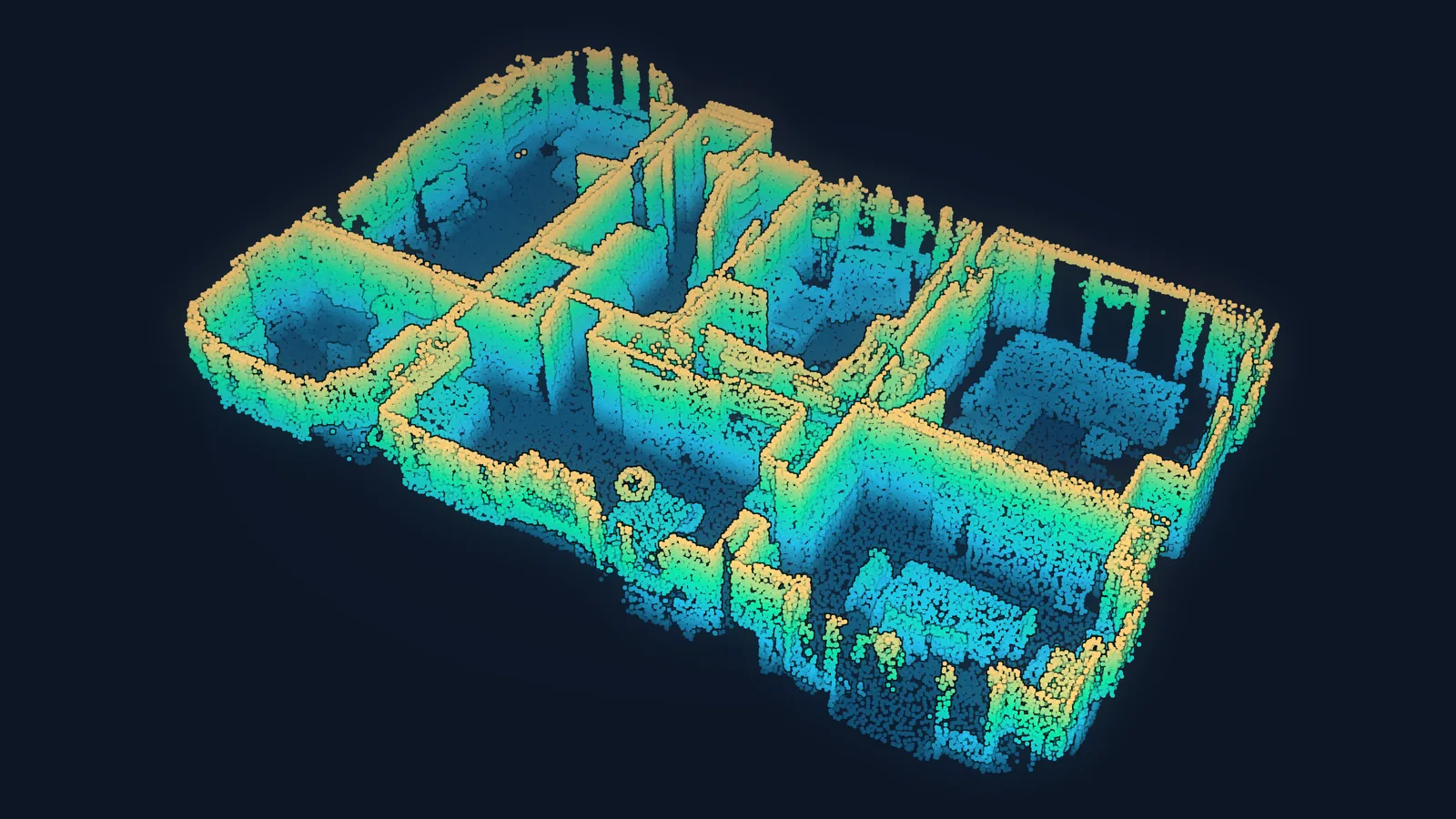
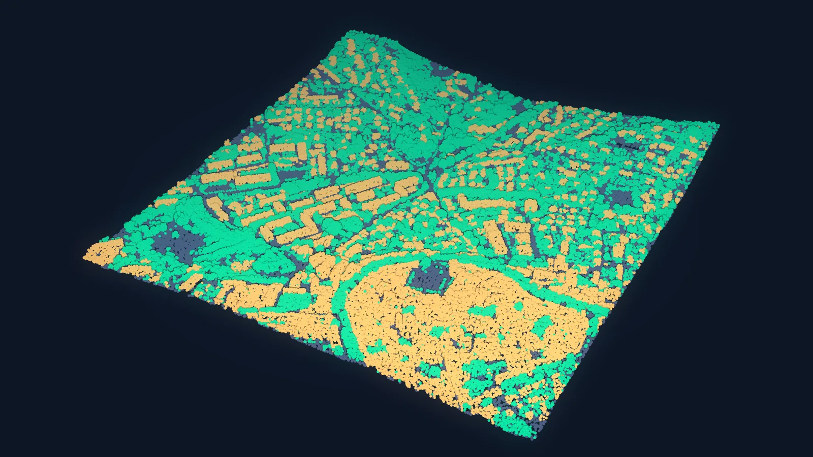
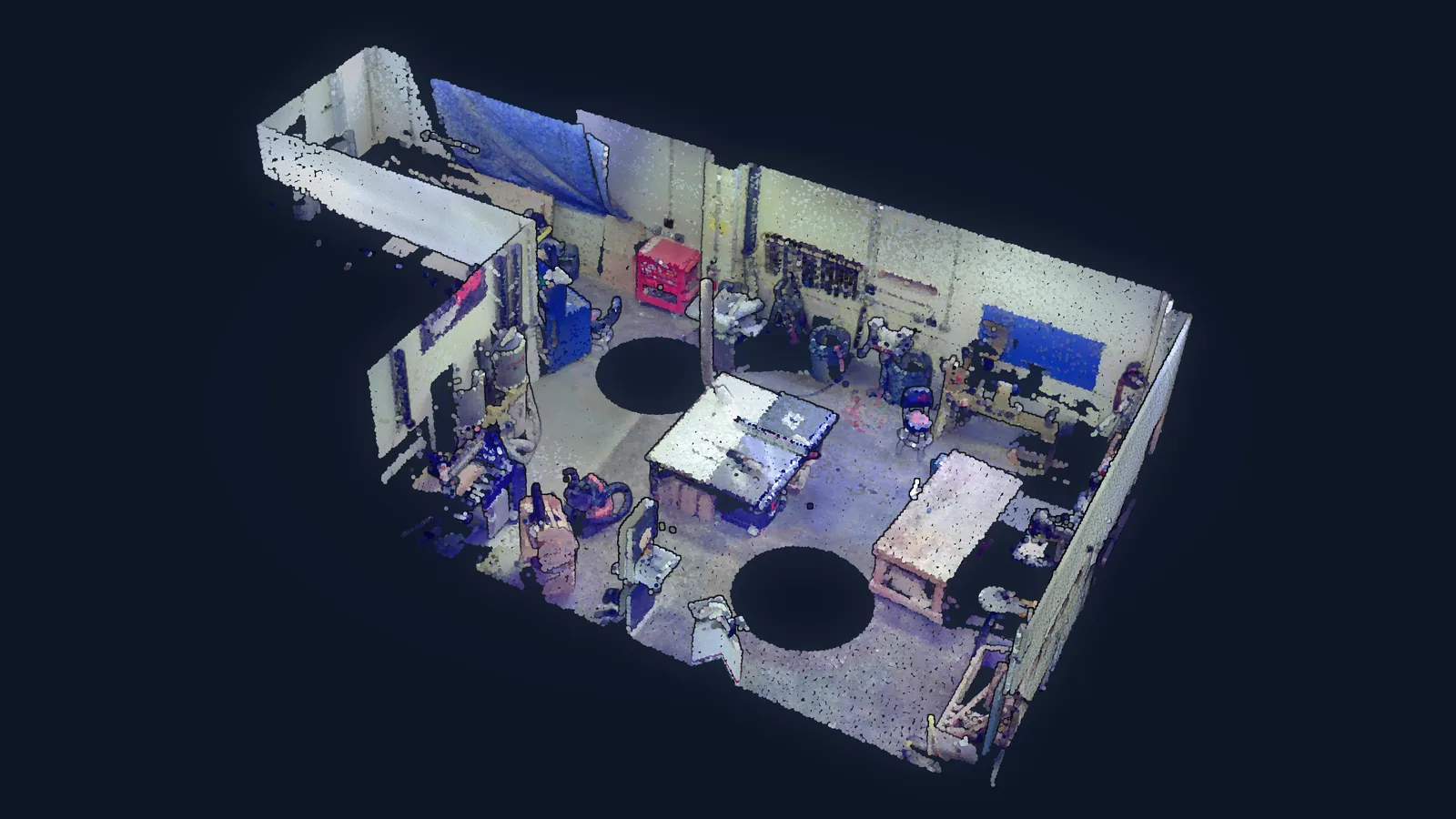
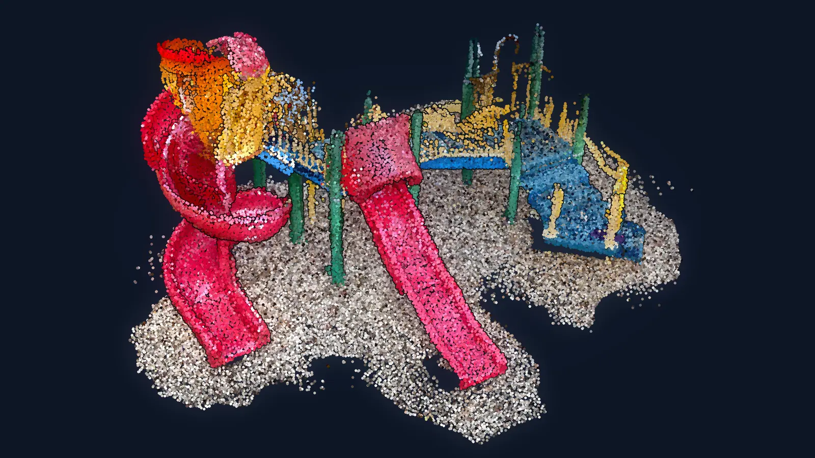
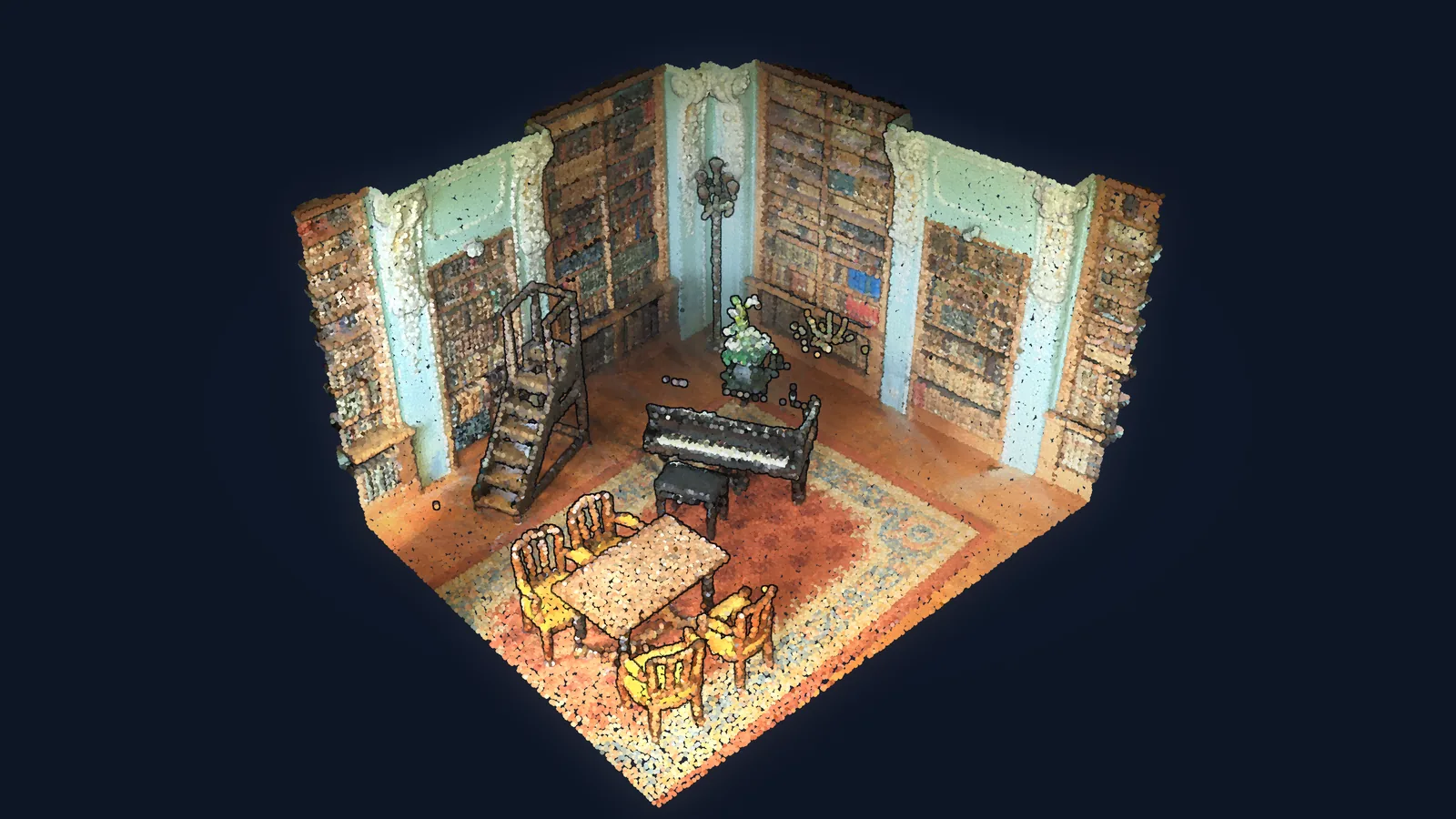
Finish the five and you print two things: a certificate and a 90 day roadmap built from the three questions you answered before Mission 1.
Send me the missions →The next step: one full course, or the whole catalogue
The free act ends with a working Python setup and a first pipeline. There are two sensible things to do next.
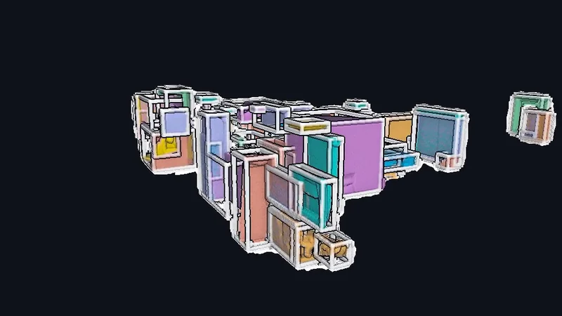 The next course
3D Object Detection Engine
€197 one time, lifetime accessWhere the free missions stop, this one keeps going: from raw LiDAR to clean 3D bounding boxes, with RANSAC, DBSCAN, PCA, KD-Tree and SAM for 3D.
- 44 lessons, real scans, a detection engine you own
- The full repository, commercial licence included
- Fourteen day money-back guarantee
The complete catalogue
Free 10 pages, PDFEvery course, every program and every subscription on one ladder, with the exact price of each. Nothing is gated and no email is asked for.
- Free, entry, deep dives, the operating systems
- The Library and the 3D AI Architect program
