
Automate Reality Capture with Metric Accuracy
From raw photos to georeferenced point clouds you can hand to a surveyor. 16 lessons on photogrammetry, RealityCapture, GCP workflows, and batch automation you can deploy in production.
See the capture pipeline in action
From capture planning to a georeferenced reconstruction handed off to the client.
Points per reconstruction. Designed for BIM-scale projects.
Students trained worldwide across 80 countries.
Production experience distilled into structured, repeatable workflows.
Your reconstruction looks great. But the surveyor rejects it.
You can run photogrammetry in RealityCapture or Metashape. You get a dense point cloud. The mesh looks clean. Your client is impressed. Then the surveyor checks the dimensions and the whole deliverable falls apart. Distances are off by 5 cm. The orientation is rotated. There is no control network. The model is pretty, but it is not metric.
The gap is not the software. It is the capture discipline: how to plan overlap, place GCPs, validate with check points, and feed clean geometry into an automated pipeline. That is what this course teaches you.
Anyone can point a camera and get a point cloud. Very few engineers can deliver a reconstruction that matches a survey-grade coordinate system within 2 cm. That is the threshold where a reality capture deliverable stops being decorative and starts being actionable. This course drills that threshold.
What you’ll build
Real reconstruction pipelines on real sites. No staged datasets.
Automated capture pipeline
Plan the capture, process the images, validate the result. A complete SfM pipeline that runs without hand-holding and produces metric-accurate point clouds.
Georeferencing with GCPs
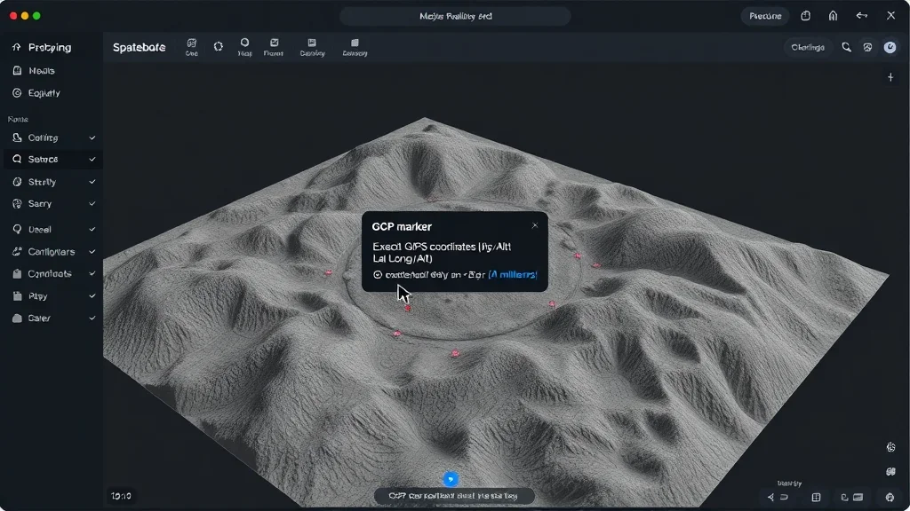
Use Ground Control Points and check points to pin your model to a real-world coordinate system. Handle EPSG transforms and validate accuracy.
Batch processing engine
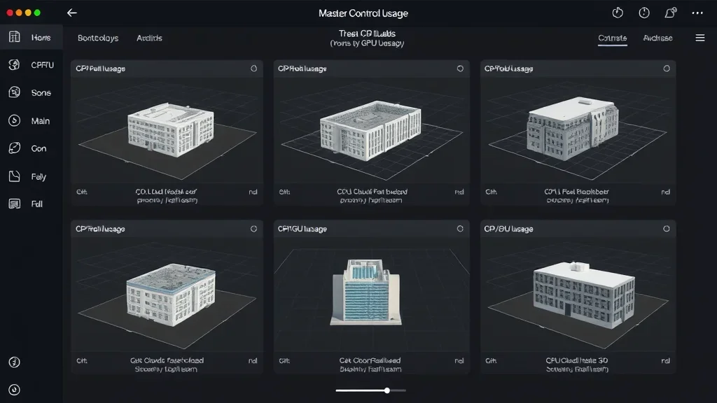
Automate dozens of reconstructions overnight. RealityCapture CLI scripting, Python orchestration, and failure recovery for hundreds of input datasets.
Camera calibration
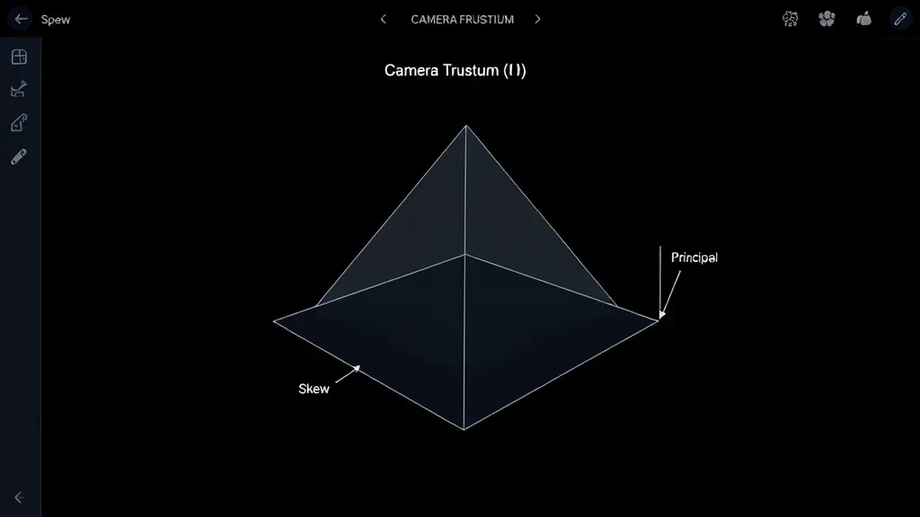
Intrinsic and extrinsic calibration from scratch. Focal length, principal point, distortion coefficients. The pinhole camera model explained for engineers, not researchers.
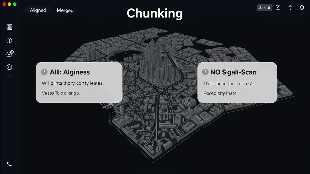
Large-scale strategy
Split a 50,000 m² site into chunks. Align, merge, and reconcile thousands of images without running out of RAM or patience.
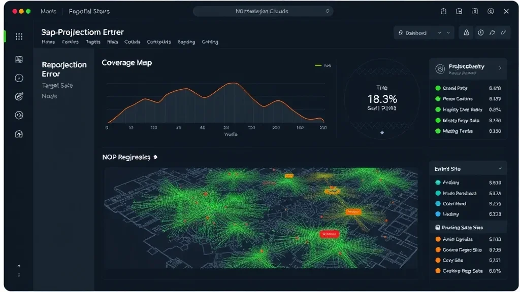
Quality validation
Check points, residuals, reprojection error. The quantitative checks that prove your reconstruction is survey-grade, not just pretty.
I started my career as a field surveyor measuring buildings with a total station. I know exactly what a surveyor expects when they receive a point cloud. This course packages that standard into an automated pipeline so you can deliver it every time.
How this course works
Hands-on, field-tested, and built for working surveyors and engineers.
100% asynchronous
Access everything 24/7 on the LMS. Self-paced. No live sessions required.
Code + CLI projects
Every module ships with Python orchestration scripts and RealityCapture CLI templates. Clone the repo, run it on your data, ship it.
Real capture datasets
Aerial drone shots, ground photos, terrestrial scans. Real buildings, real infrastructure, real control networks.
Metric-first mindset
Every exercise includes accuracy validation. You will not finish a module without knowing the residual error of your reconstruction.
Lifetime access
One payment, permanent access. Every future update included. If anything ever happens to the platform, I’ll send you the full offline version too.
Upgrade path
This course is one of the four modules inside the Reconstructor OS. Start here, upgrade when you are ready for the full stack.
Most tutorials show you how to click buttons in RealityCapture. This course shows you how to replace the buttons with a script. The difference is the difference between producing one reconstruction a week and producing fifty. That is the economics of a real reality capture business.
The Curriculum
5 modules. From capture planning to automated metric deliverables.
Prerequisites
This course is for engineers, surveyors, and reconstruction professionals who want to move from manual button-clicking to automated pipelines.
- Python (beginner+): comfortable with loops, functions, and running scripts from a command line
- Hardware: 16 GB RAM minimum, 32 GB+ recommended for large-site modules. CUDA GPU recommended
- Software: RealityCapture (free student license), Python, CloudCompare. All other tools are free and open-source
- Camera basics: focal length, aperture, overlap concepts. I cover the rest inside the course
No prior photogrammetry experience required. I build the capture intuition from the ground up.
Install the reconstruction stack. Understand the toolbox. Calibrate your hardware for a professional capture workflow.
Master the capture side. Photogrammetry theory, acquisition planning, and the geometric principles behind every reconstruction.
The professional tool, used the professional way. Automated alignment, dense reconstruction, GCP integration, and the RealityCapture CLI.
Turn a reconstruction into a survey deliverable. Metric accuracy, coordinate systems, georeferencing, and the math that keeps you honest.
Batch process hundreds of datasets. Python orchestration, RealityCapture CLI, and the production patterns that turn one-off projects into a scalable service.
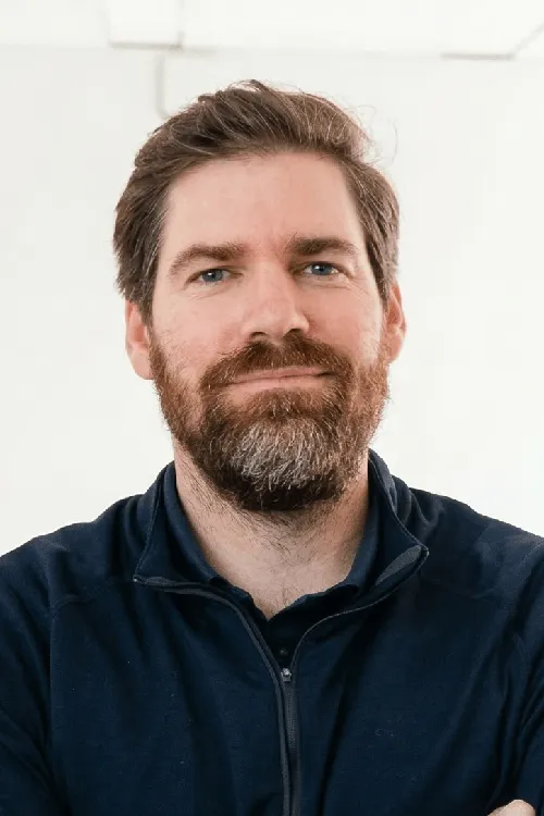
Your instructor
Dr. Florent Poux
I’ve spent 12+ years in 3D geospatial: from field surveys with total stations to building AI systems for Fortune 500 companies. I published the O’Reilly book on 3D Data Science with Python. I’ve advised startups valued at over 15M EUR. I’ve held a professorship, taught at university, and led R&D for some of the largest organizations in the space.
I don’t teach syntax. I teach judgment. Every module is built around real decisions I’ve faced in production. Which neural renderer fits an industrial inspection job. How to architect a semantic pipeline that doesn’t choke on 500M points. When to use algorithmic methods and when to switch to deep learning.
What students say
Engineers, surveyors, and AEC professionals from 80 countries.
“We used the HITL annotation engine to label 50K objects in our BIM dataset. It cut our annotation time by 70%. Real production value from day one.”

“I went from copy-pasting Open3D tutorials to building a full classification pipeline for our digital twin project. The production mindset changes everything.”
“The scan-to-BIM pipeline turned a three-week manual modelling job into a two-day automated workflow. We closed three new heritage contracts the same quarter.”
“The photogrammetry-to-splat pipeline module replaced three tools in our stack. We deliver photorealistic scenes to clients in half the time.”
“The RealityCapture CLI module turned our overnight reconstruction queue into a one-line script. Six engineers got their evenings back.”
“I doubted I needed a course for a tool I use daily. I was wrong. Florent’s parameter walk-through alone improved my reconstruction quality on hard datasets.”
Get lifetime access
One payment. Every module, every update, every metric pipeline.
Automated Reality Capture
Complete capture curriculum + source code + real datasets + lifetime updates
- 5 modules (18+ hours, 16 lessons)i
- Complete Python source code + datasets
- RealityCapture CLI templates
- GCP and check point workflows
- Lifetime access + all future updatesi
- 90-day results guaranteei
Zero-risk guarantee: If you don’t see real results within 90 days, I’ll refund you in full. No questions.
The complete ecosystem
3D AI Architect Program
The complete spatial AI curriculum, delivered in 3 tiers. Pick the depth that matches where you are — Foundations to get moving, Professional for the full OS stack, Ultimate for live access and priority support.
- 3D AI Acceleratori: 17 episodes in 6 acts
- 3D Course Libraryi: every standalone course I publish
- All 4 OS courses (Professional & Ultimate tiers)
- Neurones 3D software access
- Monthly drop-in sessions with Dr. Poux (Ultimate)
- Spatial AI job and market intel
- Priority support + services access (Ultimate)
- 300+ hours of content
What you’re getting access to
Everything I’ve built over 12+ years, from land surveying in the field to advising 15M EUR startups, compressed into one curriculum you can start today. Delivered by the first QUALIOPI-certified 3D geospatial academy.
Every pipeline was battle-tested on Fortune 500 projects processing billions of points. You’re getting the real playbook, not theory.
Methods validated by peer-reviewed publications, the ISPRS scientific community, and 1,500+ academic citations. Not guesswork.
Built by someone who surveyed in the field, defended a PhD, advised funded startups, and shipped products to Fortune 500 clients.
I share more free content than most people put behind a paywall. That’s intentional. I want you to know exactly what you’re getting before you invest. This course is the concentrated, structured version of everything I know. No fluff. No filler. Just the production path.
Find the right path for you
From single courses to the complete ecosystem.
| Feature | Standalone Course | Automated Reality Capture | Course Library | 3D AI Architecti | Enterprise |
|---|---|---|---|---|---|
| Courses included | 1 topic | 5 modules | Full catalogi | 3 OS courses + Library (tiered) | Custom |
| Hours of content | 2-8h | 18+ hours | 150+ hours | 300+ hours (tiered) | Custom |
| Production source code | ✓ | ✓ | ✓ | ✓ | ✓ |
| Lifetime access | ✓ | ✓ | – | ✓ | ✓ |
| 3D AI Accelerator Tracki | – | – | – | ✓ | ✓ |
| Neurones 3D softwarei | – | – | – | ✓ | ✓ |
| Spatial AI job & market inteli | – | – | – | ✓ | ✓ |
| Monthly drop-in sessionsi | – | – | – | ✓ | ✓ |
| Priority support + services accessi | – | – | – | ✓ tiered | ✓ |
| Custom onboardingi | – | – | – | – | ✓ |
| Team licensing | – | – | – | – | ✓ |
| Price | €97 – €497 | €497 | €297 / 3 months | Starts at €1,999 | On request |
Straight answers
Do I need a drone or scanner?
No. All datasets are provided. You will learn capture planning, but you can complete every module with the included data. If you have your own data, even better.
Do I need RealityCapture?
Yes, but RealityCapture has a free student license that works for the course. You can also adapt the pipelines to Metashape or open-source alternatives like Meshroom. I show you the differences in module 5.
What hardware do I need?
Minimum 16 GB RAM. For the large-scale module, 32 GB+ and a CUDA GPU with 8+ GB VRAM are strongly recommended.
How long do I have access?
Lifetime. One payment, permanent access. Every future update is included.
What’s the refund policy?
90 days. Run the pipelines, reconstruct something real. If you don’t see results, email me for a full refund. No questions asked.
How is this different from just using the RealityCapture GUI?
GUI tools work for one-off projects. This course teaches you to automate the GUI away. Batch scripts, Python orchestration, and failure recovery for hundreds of datasets. Production scale, not point-and-click.
Is the reconstruction good enough for survey work?
Yes, with GCPs and check points. The course teaches you how to validate accuracy against a known control network. You will know the residual error of every reconstruction before you deliver it.
Can I upgrade to the Reconstructor OS later?
Yes. This course is one of the four standalone modules inside the Reconstructor OS. Contact me for upgrade credit toward the full OS.
Not sure if this course fits?
If you have specific questions about how the curriculum applies to your role, your team’s needs, or your technical background, I’m happy to help you figure it out before you commit.
Book a 15-min call