
Automate Photogrammetry for Civil Infrastructure
From drone flight to georeferenced deliverables for roads, bridges, and earthworks. 8 lessons on photogrammetry, GCP surveys, and batch automation tuned for civil projects.
See the civil pipeline in action
From a drone flight over a construction site to a georeferenced deliverable the surveyor can sign off.
Typical reconstruction accuracy with a proper GCP network.
Students trained worldwide across 80 countries.
Production experience distilled into structured, repeatable workflows.
Civil surveying is drowning in manual work.
You fly a drone over a road project. You come back with 1,500 photos and a handful of GCP coordinates. Then the grinding starts. Import. Mask. Align. Densify. Georeference. Export. Every project is a two-day manual job that your team repeats hundreds of times a year. Meanwhile your competitors are closing the same jobs in an afternoon.
The difference is not the drone. It is the automation layer: the Python scripts, the batch workflows, and the capture discipline that turn a pile of photos into a survey deliverable without a human clicking buttons. That is what this course teaches you to build, with civil infrastructure as the use case.
Civil projects are repetitive. You survey the same type of site hundreds of times a year. Hand-processing each one is an insult to your margins. An automated pipeline turns a two-day job into a two-hour job, and the two hours are mostly waiting for a GPU. That is the margin that wins bids.
What you’ll build
Real civil pipelines on real infrastructure datasets.
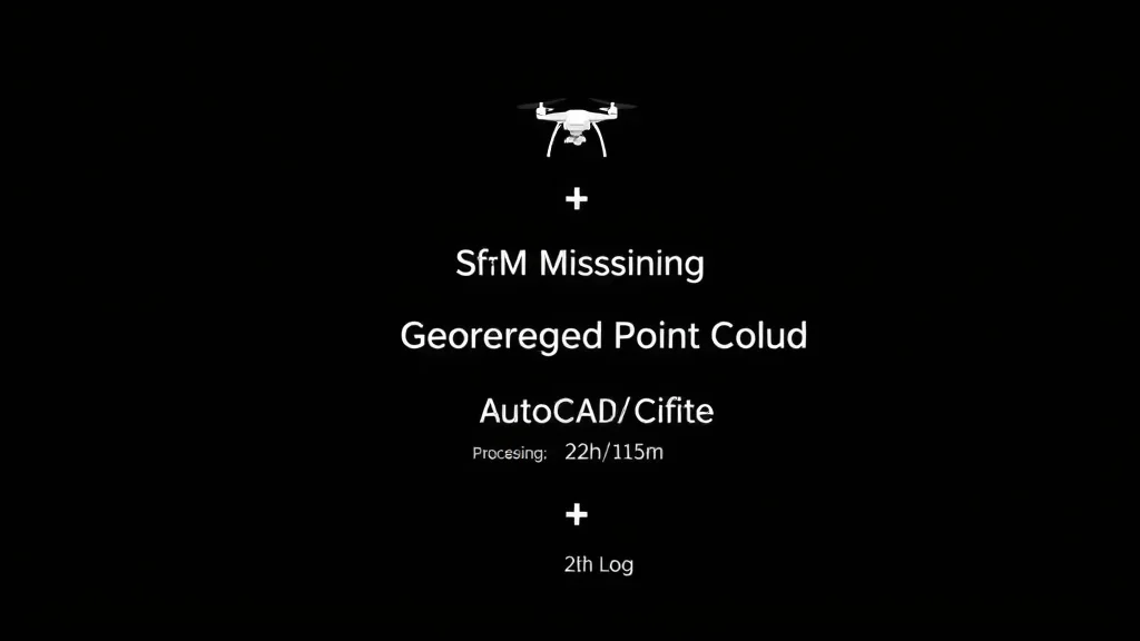
Drone-to-deliverable pipeline
The full civil workflow. Flight planning, ground truth, SfM processing, and georeferenced output files your client can open in CAD or GIS.
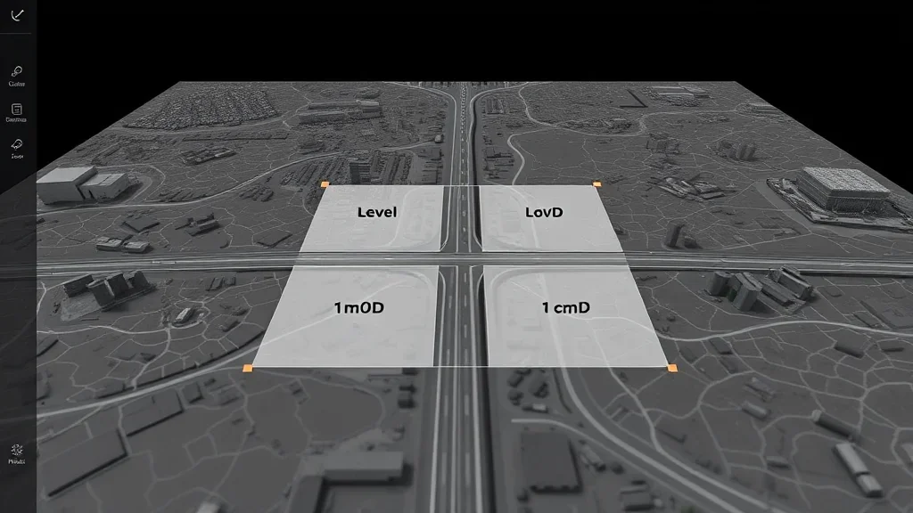
Large-scale site capture
Roads, bridges, earthworks. How to chunk a 2-kilometer corridor into a reconstruction that stays metric across the whole length.
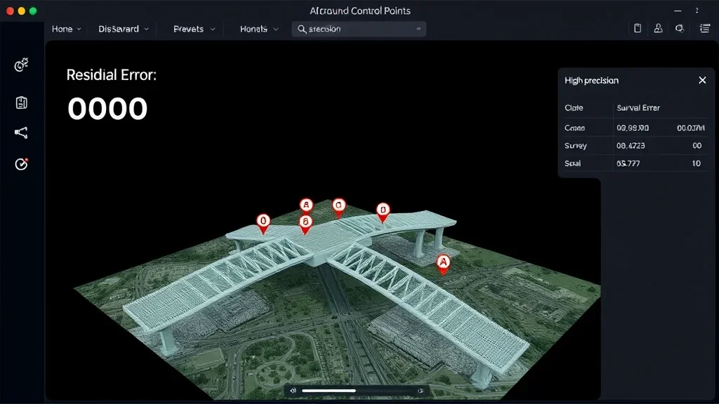
Survey-grade deliverables
Orthophotos, digital terrain models, contour lines, volumes. The specific deliverables civil clients actually pay for, exported to DWG, LAS, and GeoTIFF.
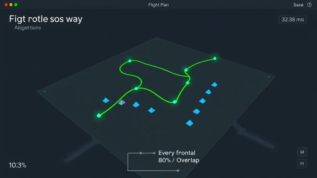
Drone capture strategy
Overlap, altitude, gimbal angle. The capture rules that keep your reconstruction tight across kilometer-scale sites.
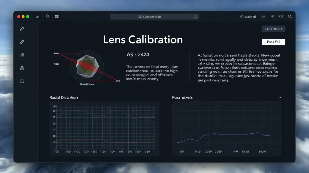
Field-grade calibration
Camera calibration under real field conditions. Dust, heat, vibration, and the parameters that matter when the drone is not in a lab.
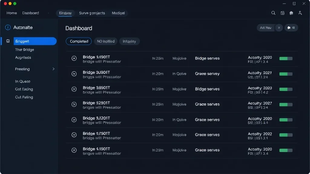
Batch automation
Python orchestration for RealityCapture and open-source alternatives. Process dozens of corridor surveys overnight with proper logging and failure recovery.
I spent two years as a field surveyor before I went into research. I know the cost of every manual step in a civil workflow. This course compresses what I learned the hard way into eight lessons built specifically for civil engineers.
How this course works
Hands-on, field-tested, and built for civil engineers who ship surveys.
100% asynchronous
Access everything 24/7 on the LMS. Self-paced. No live sessions required.
Code + CLI projects
Every lesson ships with Python orchestration scripts and RealityCapture CLI templates tuned for civil datasets.
Real civil datasets
Drone flights over real roads, bridges, and earthworks. Not forest trails and garden benches.
Metric validation
Every deliverable is validated against a control network. You will not finish a lesson without a quantified accuracy report.
Lifetime access
One payment, permanent access. Every future update is included, including new civil use cases as I add them.
Civil-focused examples
Bridges, roads, earthworks, pipelines. Every case study is a civil infrastructure scenario, not a generic reconstruction demo.
Most civil engineering teams rely on external survey firms for photogrammetric deliverables. Bringing the workflow in-house cuts costs and shortens project timelines. A skilled civil engineer with automated photogrammetry is worth three surveyors. That is what this course trains you to become.
The Curriculum
4 modules. 8 lessons. From drone flight to signed-off deliverable.
Prerequisites
This course is for civil engineers, surveyors, and technicians who want to own the full photogrammetric pipeline.
- Python (beginner): comfortable running scripts from a command line. No heavy Python knowledge needed
- Surveying basics: you understand coordinate systems, GCPs, and the concept of a control network
- Hardware: 16 GB RAM minimum, 32 GB+ recommended for corridor-scale projects. CUDA GPU recommended
- Drone or input data: all datasets are provided. Your own drone is optional
No prior Python photogrammetry experience required.
The civil-specific capture side. Flight planning for corridors, overlap rules for linear sites, and acquisition strategies for infrastructure that does not stand still.
The professional tool tuned for civil workflows. Automated alignment, field-grade camera calibration, and the settings that matter on outdoor datasets.
Turn the dense cloud into a survey deliverable. GCPs, check points, coordinate transforms, and the validation reports your client requires.
Batch process multiple projects. Python orchestration for RealityCapture CLI, and civil-specific deliverables (orthophotos, DTMs, volumes) in the formats clients expect.

Your instructor
Dr. Florent Poux
I’ve spent 12+ years in 3D geospatial: from field surveys with total stations to building AI systems for Fortune 500 companies. I published the O’Reilly book on 3D Data Science with Python. I’ve advised startups valued at over 15M EUR. I’ve held a professorship, taught at university, and led R&D for some of the largest organizations in the space.
I don’t teach syntax. I teach judgment. Every module is built around real decisions I’ve faced in production. Which neural renderer fits an industrial inspection job. How to architect a semantic pipeline that doesn’t choke on 500M points. When to use algorithmic methods and when to switch to deep learning.
What students say
Civil engineers, surveyors, and AEC professionals from 80 countries.
“We used the HITL annotation engine to label 50K objects in our BIM dataset. It cut our annotation time by 70%. Real production value from day one.”

“I went from copy-pasting Open3D tutorials to building a full classification pipeline for our digital twin project. The production mindset changes everything.”
“The scan-to-BIM pipeline turned a three-week manual modelling job into a two-day automated workflow. We closed three new heritage contracts the same quarter.”
“The photogrammetry-to-splat pipeline module replaced three tools in our stack. We deliver photorealistic scenes to clients in half the time.”
“We rebuilt our drone-to-deliverable workflow around the batch processing module. A 1.2 km corridor now ships in eight hours instead of three days.”
“The GCP and check-point chapter alone justified the price. Our reconstructions finally pass survey audit on the first submission.”
“I have done photogrammetry for fifteen years. Florent showed me four automation tricks I had never used. Pure ROI, no fluff.”
Get lifetime access
One payment. Every module, every update, every civil pipeline.
Photogrammetry for Civil Engineers
Complete civil photogrammetry curriculum + source code + real datasets + lifetime updates
- 4 modules (12+ hours, 8 lessons)i
- Complete Python source code + datasets
- RealityCapture CLI templates
- Civil deliverable export workflows
- Lifetime access + all future updatesi
- 90-day results guaranteei
Zero-risk guarantee: If you don’t see real results within 90 days, I’ll refund you in full. No questions.
The complete ecosystem
3D AI Architect Program
The complete spatial AI curriculum, delivered in 3 tiers. Pick the depth that matches where you are — Foundations to get moving, Professional for the full OS stack, Ultimate for live access and priority support.
- 3D AI Acceleratori: 17 episodes in 6 acts
- 3D Course Libraryi: every standalone course I publish
- All 4 OS courses (Professional & Ultimate tiers)
- Neurones 3D software access
- Monthly drop-in sessions with Dr. Poux (Ultimate)
- Spatial AI job and market intel
- Priority support + services access (Ultimate)
- 300+ hours of content
What you’re getting access to
Everything I’ve built over 12+ years, from land surveying in the field to advising 15M EUR startups, compressed into one curriculum you can start today. Delivered by the first QUALIOPI-certified 3D geospatial academy.
Every pipeline was battle-tested on Fortune 500 projects processing billions of points. You’re getting the real playbook, not theory.
Methods validated by peer-reviewed publications, the ISPRS scientific community, and 1,500+ academic citations. Not guesswork.
Built by someone who surveyed in the field, defended a PhD, advised funded startups, and shipped products to Fortune 500 clients.
I share more free content than most people put behind a paywall. That’s intentional. I want you to know exactly what you’re getting before you invest. This course is the concentrated, structured version of everything I know. No fluff. No filler. Just the production path.
Find the right path for you
From single courses to the complete ecosystem.
| Feature | Standalone Course | Photogrammetry for Civil Engineers | Course Library | 3D AI Architecti | Enterprise |
|---|---|---|---|---|---|
| Courses included | 1 topic | 4 modules | Full catalogi | 3 OS courses + Library (tiered) | Custom |
| Hours of content | 2-8h | 12+ hours | 150+ hours | 300+ hours (tiered) | Custom |
| Production source code | ✓ | ✓ | ✓ | ✓ | ✓ |
| Lifetime access | ✓ | ✓ | – | ✓ | ✓ |
| 3D AI Accelerator Tracki | – | – | – | ✓ | ✓ |
| Neurones 3D softwarei | – | – | – | ✓ | ✓ |
| Spatial AI job & market inteli | – | – | – | ✓ | ✓ |
| Monthly drop-in sessionsi | – | – | – | ✓ | ✓ |
| Priority support + services accessi | – | – | – | ✓ tiered | ✓ |
| Custom onboardingi | – | – | – | – | ✓ |
| Team licensing | – | – | – | – | ✓ |
| Price | €97 – €497 | €297 | €297 / 3 months | Starts at €1,999 | On request |
Straight answers
Do I need a drone?
No. All datasets are provided. If you have your own drone, you can use the same pipelines on your data after the course.
Is this a substitute for a professional surveyor?
No, and that’s not the point. This course teaches civil engineers how to run the photogrammetric side of a survey in-house. You still need a licensed surveyor to sign off on legal deliverables.
What hardware do I need?
Minimum 16 GB RAM. For corridor-scale projects, 32 GB+ and a CUDA GPU are strongly recommended.
How long do I have access?
Lifetime. One payment, permanent access. Every future update is included.
What’s the refund policy?
90 days. Run the pipeline on your own data. If you don’t see results, email me for a full refund.
How does this compare to your Reality Capture course?
The Reality Capture course is broader and covers general reconstruction. This course is civil-specific: drone corridors, GCPs, orthophotos, DTMs, volumes. If you work in civil, start here. If you work across industries, the Reality Capture course fits better.
Can I use open-source tools instead of RealityCapture?
Yes. The course uses RealityCapture as the professional example, but the Python orchestration patterns transfer to Meshroom, OpenDroneMap, and other open-source stacks.
Can I upgrade to the Reconstructor OS later?
Yes. This course is a standalone civil variant. Contact me for upgrade credit toward the full Reconstructor OS.
Not sure if this course fits?
If you have specific questions about how the curriculum applies to your role, your team’s needs, or your technical background, I’m happy to help you figure it out before you commit.
Book a 15-min call